Channel & Berth Profile
Pilotage, Tugs & Services
Pilotage compulsoryYES
Pilotage availableYES
Pilotage advisableYES
Local assistanceYES
Potable waterYES
Diesel bunkersYES
Facilities & Capabilities
Container—
Ro-Ro—
Liquid bulk—
Dry bulk—
Oil terminal—
Break bulk—
Dry dock—
RepairsNO
BunkeringYES
Rail link—
Dangerous cargo—
ISPS security—
Harbour Specifications
Harbour size
Very Small
Harbour type
River (Natural)
Shelter
Excellent
Water body
South Atlantic Ocean
Tidal range
3 m
Pilotage
Yes
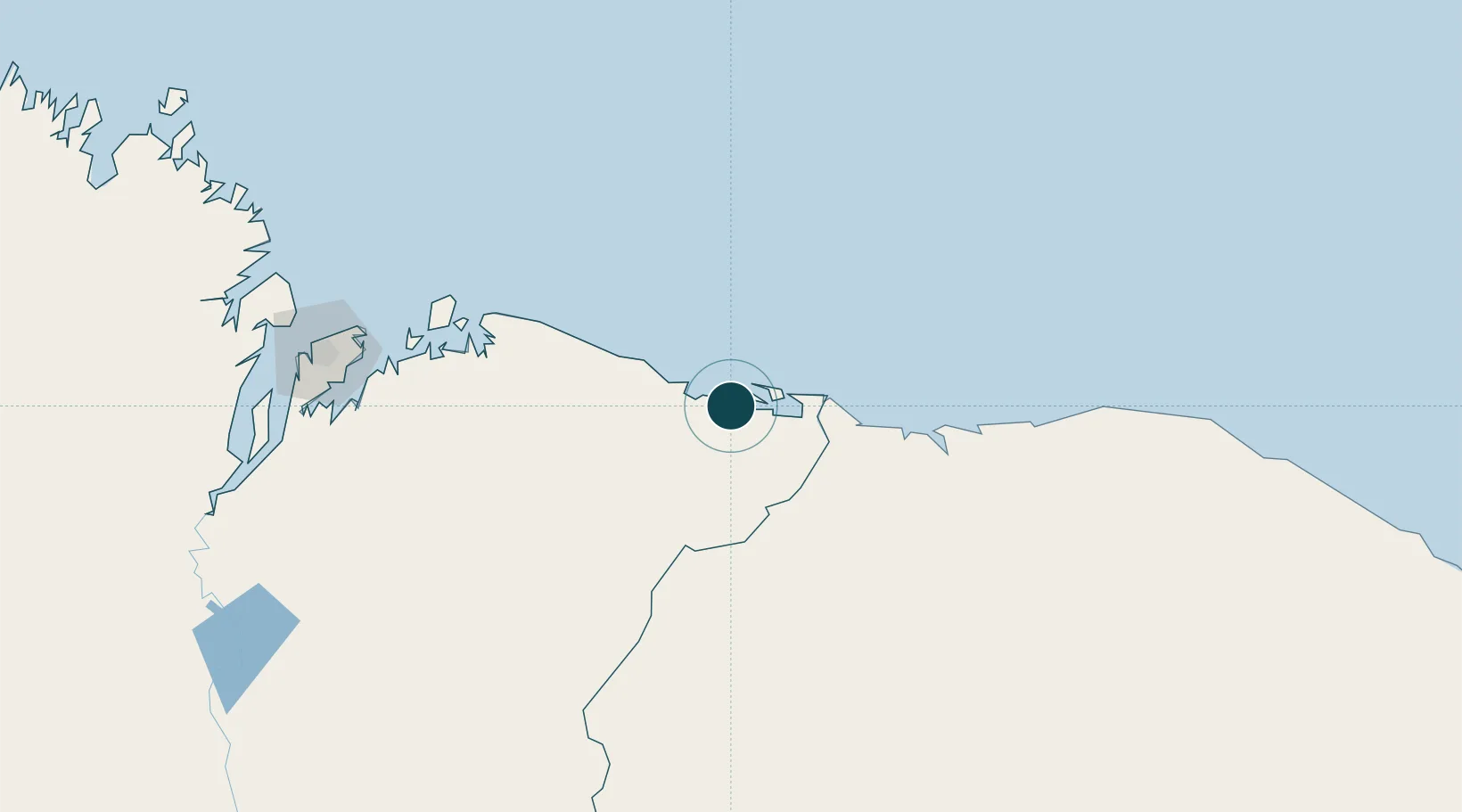
Location
Nearby Logistics Neighbours
Ports
- 1Camocim162 km
- 2Itaqui233 km
- 3Guamare Oil Terminal705 km
- 4Belem707 km
- 5Vila Do Conde732 km
Cities
- 1São Luís224 km
- 2Bacabeira225 km
- 3Itaqui Pt / São Luís231 km
- 4Ponta da Madeira Pt / São Luís231 km
- 5Sobral239 km
Airports
Trade Zones
- 1ZPE de Parnaíba (PI)60 km
- 2ZPE de São Luís229 km
- 3ZPE de Pecém (CE) ( Port of Pecém)392 km
- 4ZPE de Barcarena (PA)719 km
- 5ZPE de Araguaína (TO)819 km
DatabookThe Record of Consolidated Knowledge
Brazil beyond logistics?