Transport Functions
Port
Rail
Road
Hub Profile
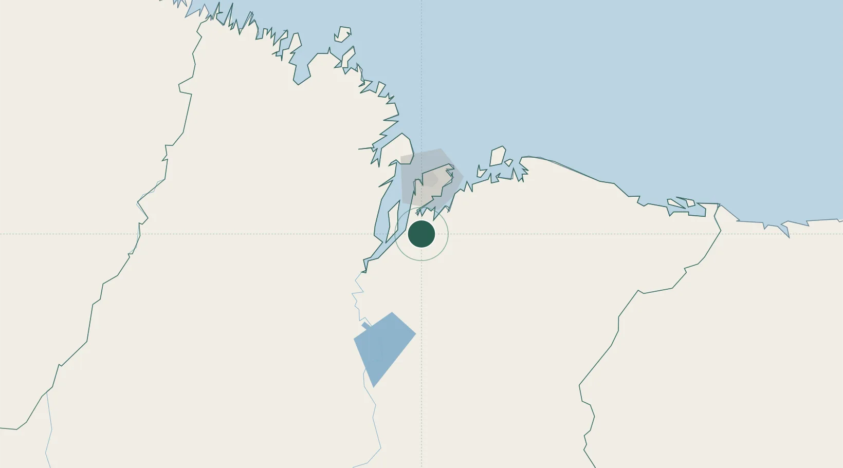
Place type
Populated place
Region
Maranhão
Population
16,966
Time zone
America/Fortaleza
Elevation
44 m
Location
Nearby Logistics Neighbours
Cities
- 1Itaqui Pt / São Luís46 km
- 2Ponta da Madeira Pt / São Luís50 km
- 3São Luís52 km
- 4Alcântara66 km
- 5Cachoeira do Piriá284 km
Ports
- 1Itaqui47 km
- 2Tutoia225 km
- 3Camocim385 km
- 4Belem497 km
- 5Vila Do Conde520 km
Airports
Trade Zones
- 1ZPE de São Luís47 km
- 2ZPE de Parnaíba (PI)281 km
- 3ZPE de Barcarena (PA)508 km
- 4ZPE de Pecém (CE) ( Port of Pecém)609 km
- 5ZPE de Araguaína (TO)637 km
DatabookThe Record of Consolidated Knowledge
Brazil beyond logistics?