UN/LOCODE hub · United States
USSRI
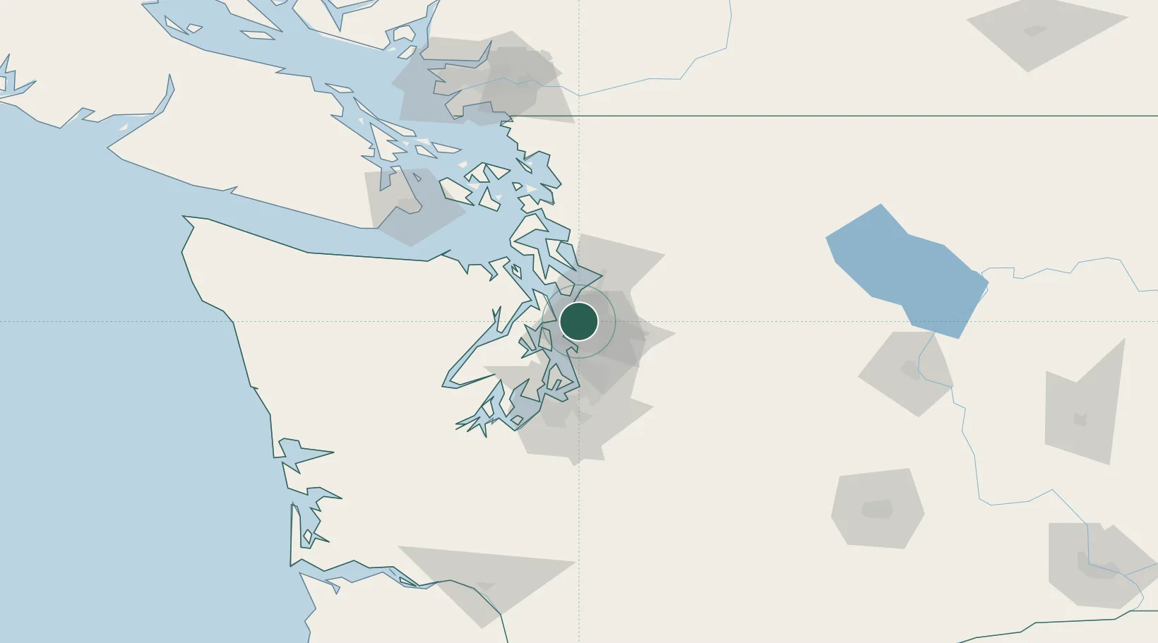
Shoreline
47.7500°, -122.3333°
55,439
Population
3
Transport functions
Transport Functions
Rail
Road
Multimodal
Hub Profile
Place type
Populated place
Region
Washington
Population
55,439
Time zone
America/Los_Angeles
Elevation
147 m
Location
Nearby Logistics Neighbours
Cities
- 1Point Wells6 km
- 2Lynnwood7 km
- 3Bothell10 km
- 4Puget Sound11 km
- 5Madison Park14 km
Ports
- 1Point Wells6 km
- 2Seattle17 km
- 3Port Gamble22 km
- 4Keyport22 km
- 5Mukilteo22 km
Airports
Trade Zones
- 1FTZ No. 005 Seattle19 km
- 2FTZ No. 085 Everett29 km
- 3FTZ No. 086 Tacoma54 km
- 4FTZ No. 212 Tacoma58 km
- 5FTZ No. 216 Olympia91 km
DatabookThe Record of Consolidated Knowledge
United States beyond logistics?