Medium airport · Philippines

Daniel Z. Romualdez AirportRPVA
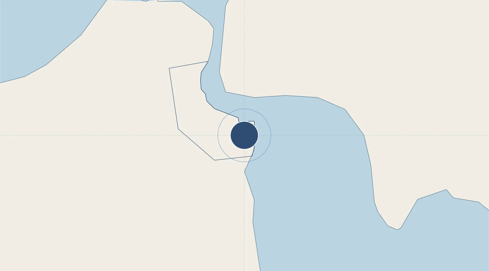
11.2278°, 125.0278°
7,014 ft
Longest runway
1
Runways
10 ft
Elevation

Runway & Layout

Daniel Z. Romualdez Airport runway & taxiway layout
Runway & taxiway layout — OpenStreetMap (ODbL) / OurAirports

Radio Frequencies

TWR
122.1 MHz
TACLOBAN TWR
APP
120.8 MHz
TACLOBAN APP
OurAirports

Navaids

TAC VOR-DME Tacloban 115.50 MHz
OurAirports

Runways · 1

RunwayDimensions SurfaceTrue headingLit
18/36 7,014 × 148ft Asphalt 184°
OurAirports

Airport Specifications

IATA code
TAC
OurAirports
ICAO code
RPVA
OurAirports
Airport class
Medium airport
OurAirports
Scheduled service
Yes
OurAirports
Runway surface
Asphalt
OurAirports
Served city
Tacloban City
OurAirports

Location

Location of RPVA
Natural Earth 10m (public domain) · Tacloban · RPVA · 11.23, 125.03GoogleOSMYandex

Nearby Logistics Neighbours

Airports
  1. 1Ormoc Airport54 km
  2. 2Calbayog Airport108 km
  3. 3Catarman National Airport148 km
  4. 4Mactan Cebu International Airport153 km
  5. 5Surigao Airport171 km
Nearest neighbours — logibook spatial index (haversine) over the source coordinates
Cities
  1. 1Carigara38 km
  2. 2Capoocan42 km
  3. 3Albuera52 km
  4. 4Leyte61 km
  5. 5Calubian, Leyte70 km
Nearest neighbours — logibook spatial index (haversine) over the source coordinates
Ports
  1. 1Tacloban4 km
  2. 2Tanauan14 km
  3. 3Ormoc53 km
  4. 4Port Borongan61 km
  5. 5Catbalogan62 km
Nearest neighbours — logibook spatial index (haversine) over the source coordinates
Trade Zones
  1. 1Leyte Mikyu Economic Zone6 km
  2. 2Leyte Information Communication Technology Park6 km
  3. 3Eastern Visayas Regional Growth Center15 km
  4. 4New Jubilee Agro-Industrial Economic Zone53 km
  5. 5Kananga Special Economic Zone59 km
Nearest neighbours — logibook spatial index (haversine) over the source coordinates
DatabookThe Record of Consolidated Knowledge
Philippines beyond logistics?
Browse databook

All Sources

AirportsOurAirports
Public domain
Portsthe NGA World Port Index
Public domain (US gov)
LocationsUN/LOCODE
UN/LOCODE — free
Trade Zonesthe World Bank SEZ database
CC BY 4.0
Trade ZonesOpen Zone Map
CC BY
InfrastructureOpenStreetMap
ODbL 1.0
← Philippines airports