UN/LOCODE hub · South Korea
KRJCN

Jincheon-gun

36.8500°, 127.9333°
2
Transport functions

Transport Functions

Rail
Road
UN/LOCODE

Hub Profile

Region
43
GeoNames

Location

Location of KRJCN
Natural Earth 10m (public domain) · 43 · KRJCN · 36.85, 127.93GoogleOSMYandex

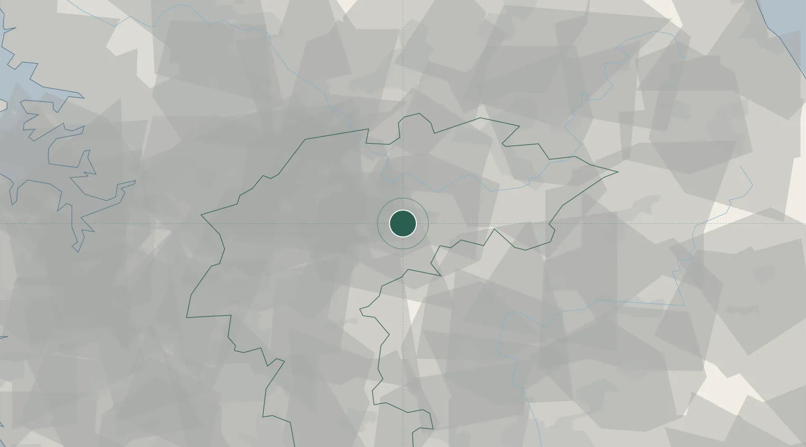
Nearby Logistics Neighbours

Cities
  1. 1Goesan-gun15 km
  2. 2Eumseong-gun24 km
  3. 3Jeungpyeung32 km
  4. 4Mungyeong37 km
  5. 5Tanyang40 km
Nearest neighbours — logibook spatial index (haversine) over the source coordinates
Ports
  1. 1Pyeongtaek Hang102 km
  2. 2Mukho132 km
  3. 3Tonghae132 km
  4. 4Inchon135 km
  5. 5Daesan Hang138 km
Nearest neighbours — logibook spatial index (haversine) over the source coordinates
Trade Zones
  1. 1Chungju High-Tech Industry Complex16 km
  2. 2Chungju 1General Industrial Complex18 km
  3. 3Jecheon General Industrial Complex39 km
  4. 4Cheongju Aeropolis40 km
  5. 5Jincheon Sansu Industrial Complex47 km
Nearest neighbours — logibook spatial index (haversine) over the source coordinates
DatabookThe Record of Consolidated Knowledge
South Korea beyond logistics?
Browse databook

All Sources

LocationsUN/LOCODE
UN/LOCODE — free
Portsthe NGA World Port Index
Public domain (US gov)
AirportsOurAirports
Public domain
Trade Zonesthe World Bank SEZ database
CC BY 4.0
Trade ZonesOpen Zone Map
CC BY
← South Korea locations