Medium airport · Japan
Sapporo Okadama AirportRJCO
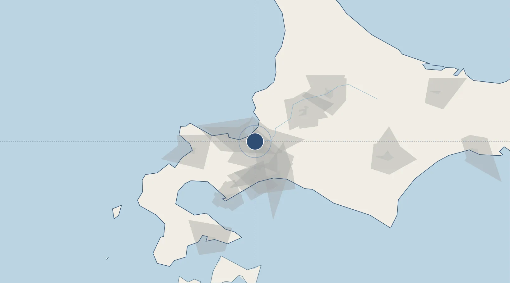
43.1174°, 141.3813°
4,920 ft
Longest runway
1
Runways
25 ft
Elevation
Runway & Layout

Radio Frequencies
TWR
126.2 MHz
GND
121.8 MHz
ARTC
127.5 MHz
CON
Navaids
SP NDB Sapporo 357 kHz
SPE VOR-DME Sapporo 113.90 MHz
Runways · 1
| Runway | Dimensions | Surface | True heading | Lit |
|---|---|---|---|---|
| 14/32 | 4,920 × 148ft | Asphalt | 135° | ✓ |
Airport Specifications
IATA code
OKD
ICAO code
RJCO
Airport class
Medium airport
Scheduled service
Yes
Runway surface
Asphalt
Served city
Sapporo
Location
Nearby Logistics Neighbours
Airports
- 1JASDF Chitose Air Base43 km
- 2New Chitose Airport46 km
- 3Asahikawa Airport106 km
- 4Tokachi Airport147 km
- 5Tokachi-Obihiro Airport155 km
Cities
- 1Sapporo6 km
- 2Ishikari11 km
- 3Ishikariwan Shinko11 km
- 4Iwamizawa31 km
- 5Kutchan58 km
Ports
- 1Ishikari Bay New Port14 km
- 2Otaru Ko31 km
- 3Wakkanai41 km
- 4Tomakomai Ko58 km
- 5Muroran Ko92 km
DatabookThe Record of Consolidated Knowledge
Japan beyond logistics?