Transport Functions
Multimodal
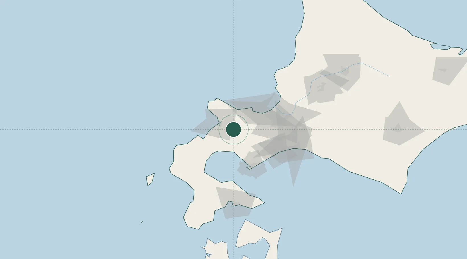
Hub Profile
Place type
Populated place
Region
Hokkaido
Population
15,816
Time zone
Asia/Tokyo
Elevation
185 m
Location
Nearby Logistics Neighbours
Cities
- 1Niseko, Hokkaido12 km
- 2Sapporo54 km
- 3Ishikari56 km
- 4Ishikariwan Shinko56 km
- 5Noboribetsu61 km
Ports
- 1Otaru Ko41 km
- 2Ishikari Bay New Port57 km
- 3Muroran Ko64 km
- 4Tomakomai Ko79 km
- 5Mori88 km
Airports
- 1Sapporo Okadama Airport58 km
- 2JASDF Chitose Air Base77 km
- 3New Chitose Airport79 km
- 4Hakodate Airport126 km
- 5Okushiri Airport141 km
DatabookThe Record of Consolidated Knowledge
Japan beyond logistics?