Runway & Layout

Airport Specifications
Airport class
Medium airport
Scheduled service
No
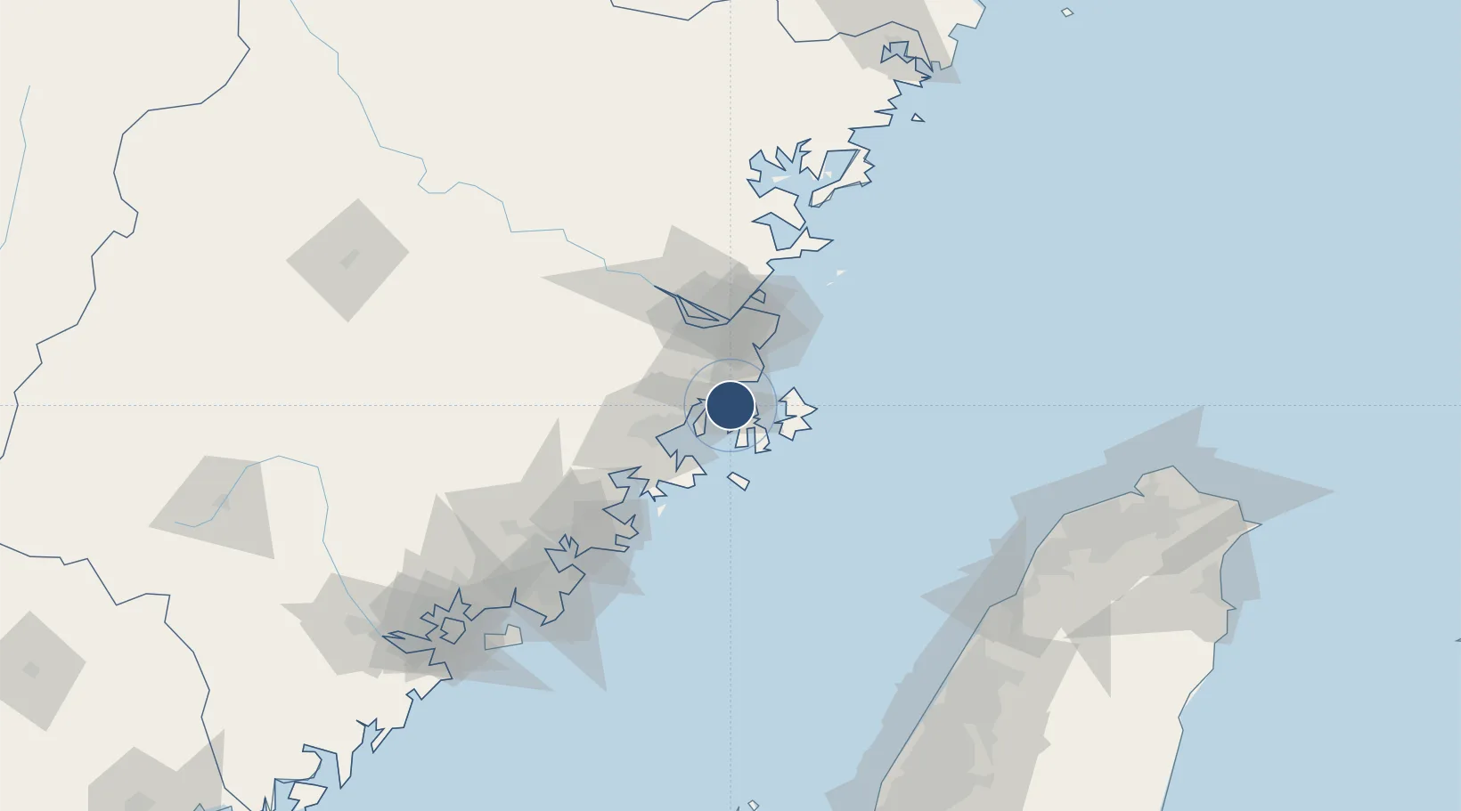
Served city
Fuzhou (Fuqing)
Location
Nearby Logistics Neighbours
Airports
- 1Fuzhou Changle International Airport45 km
- 2Fuzhou Air Base50 km
- 3Fuzhou Zhuqi Heliport70 km
- 4Matsu Nangan Airport82 km
- 5Huian Air Base90 km
Cities
- 1Xialong16 km
- 2Songxia Pt17 km
- 3Jiangyin20 km
- 4Pingtan27 km
- 5Jinjing33 km
Ports
- 1Fuzhou59 km
- 2Xiuyu61 km
- 3Quanzhou116 km
- 4Zhangzhou165 km
- 5Tai-Chung Kang176 km
DatabookThe Record of Consolidated Knowledge
China beyond logistics?