UN/LOCODE hub · China
CNMAW

Mawei Pt

25.9833°, 119.4500°
1
Transport functions

Transport Functions

Port
UN/LOCODE

Hub Profile

Region
FJ
GeoNames

Location

Location of CNMAW
Natural Earth 10m (public domain) · FJ · CNMAW · 25.98, 119.45GoogleOSMYandex

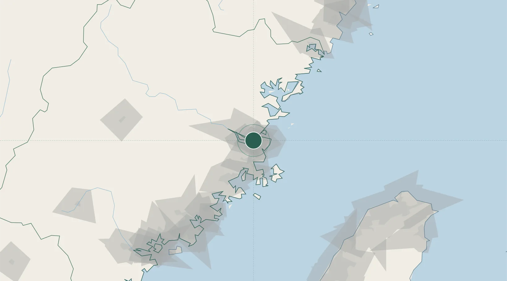
Nearby Logistics Neighbours

Cities
  1. 1Taijiang12 km
  2. 2Qingpu13 km
  3. 3Fuzhou14 km
  4. 4Qianyu25 km
  5. 5Xialong32 km
Nearest neighbours — logibook spatial index (haversine) over the source coordinates
Ports
  1. 1Fuzhou19 km
  2. 2Xiuyu96 km
  3. 3Quanzhou149 km
  4. 4Zhangzhou195 km
  5. 5Tan-Shui215 km
Nearest neighbours — logibook spatial index (haversine) over the source coordinates
Airports
  1. 1Fuzhou Air Base14 km
  2. 2Fuzhou Changle International Airport23 km
  3. 3Fuzhou Zhuqi Heliport37 km
  4. 4Longtian Air Base46 km
  5. 5Matsu Nangan Airport54 km
Nearest neighbours — logibook spatial index (haversine) over the source coordinates
Trade Zones
  1. 1Fujian Changle Economic Development Zone6 km
  2. 2Qingkou Automobile Industrial Park13 km
  3. 3Jinshan Industrial Park19 km
  4. 4Luoyuan Bay Economic Development Zone57 km
  5. 5Fuqing Export Processing Zone57 km
Nearest neighbours — logibook spatial index (haversine) over the source coordinates
DatabookThe Record of Consolidated Knowledge
China beyond logistics?
Browse databook

All Sources

LocationsUN/LOCODE
UN/LOCODE — free
Portsthe NGA World Port Index
Public domain (US gov)
AirportsOurAirports
Public domain
Trade Zonesthe World Bank SEZ database
CC BY 4.0
Trade ZonesOpen Zone Map
CC BY
← China locations