UN/LOCODE hub · China
CNTJG

Taijiang

26.0833°, 119.5000°
3
Transport functions

Transport Functions

Port
Road
Multimodal
UN/LOCODE

Hub Profile

Region
FJ
GeoNames

Location

Location of CNTJG
Natural Earth 10m (public domain) · FJ · CNTJG · 26.08, 119.50GoogleOSMYandex

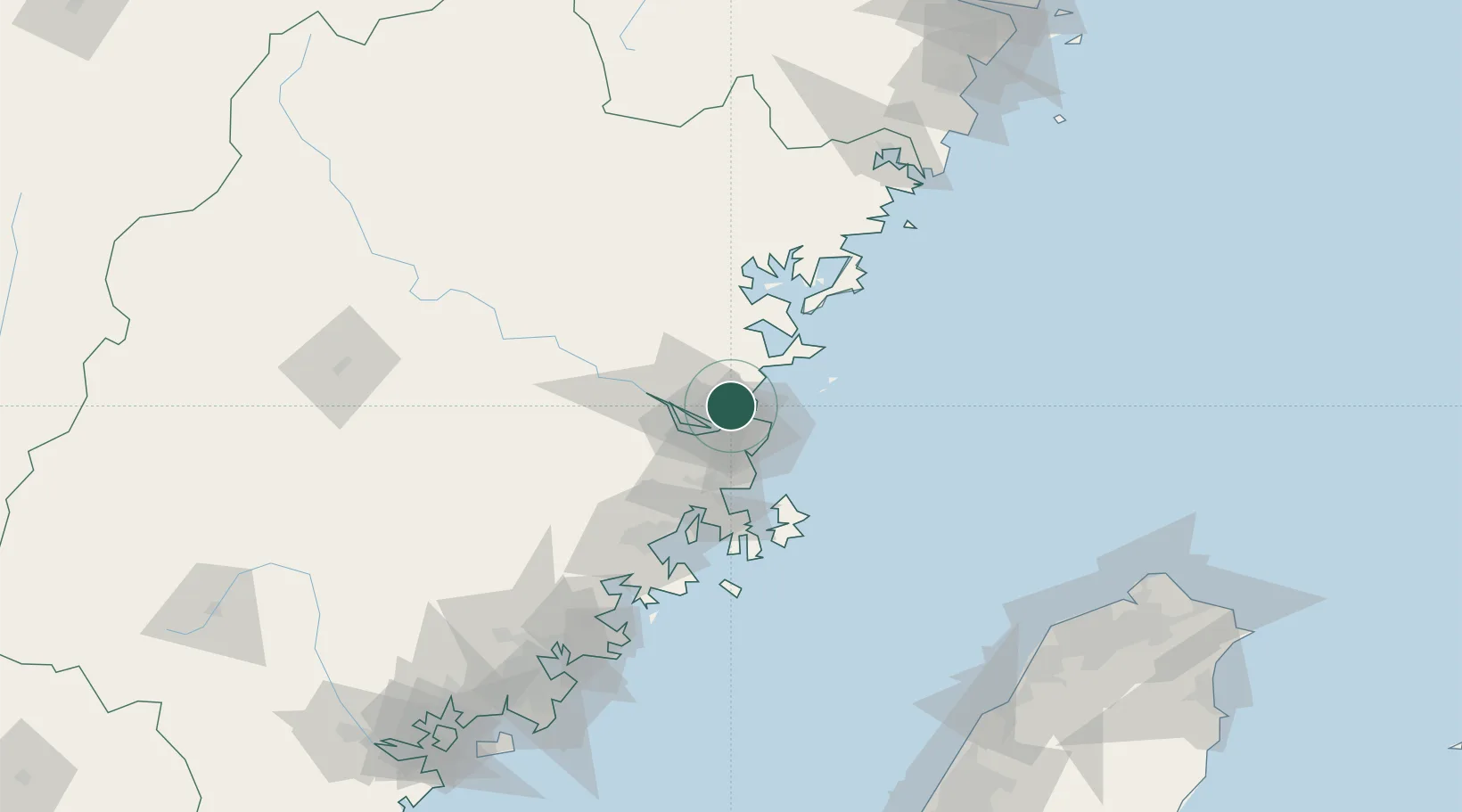
Nearby Logistics Neighbours

Cities
  1. 1Mawei Pt12 km
  2. 2Qianyu13 km
  3. 3Dongdaiwan20 km
  4. 4Qingpu25 km
  5. 5Fuzhou26 km
Nearest neighbours — logibook spatial index (haversine) over the source coordinates
Ports
  1. 1Fuzhou20 km
  2. 2Xiuyu108 km
  3. 3Quanzhou161 km
  4. 4Zhangzhou207 km
  5. 5Tan-Shui215 km
Nearest neighbours — logibook spatial index (haversine) over the source coordinates
Airports
  1. 1Fuzhou Air Base21 km
  2. 2Fuzhou Changle International Airport24 km
  3. 3Fuzhou Zhuqi Heliport39 km
  4. 4Matsu Nangan Airport47 km
  5. 5Matsu Beigan Airport53 km
Nearest neighbours — logibook spatial index (haversine) over the source coordinates
Trade Zones
  1. 1Fujian Changle Economic Development Zone12 km
  2. 2Jinshan Industrial Park24 km
  3. 3Qingkou Automobile Industrial Park25 km
  4. 4Luoyuan Bay Economic Development Zone45 km
  5. 5Sanduao Economic Development Zone62 km
Nearest neighbours — logibook spatial index (haversine) over the source coordinates
DatabookThe Record of Consolidated Knowledge
China beyond logistics?
Browse databook

All Sources

LocationsUN/LOCODE
UN/LOCODE — free
Portsthe NGA World Port Index
Public domain (US gov)
AirportsOurAirports
Public domain
Trade Zonesthe World Bank SEZ database
CC BY 4.0
Trade ZonesOpen Zone Map
CC BY
← China locations