Small airport · United States
Kaltag AirportPAKV
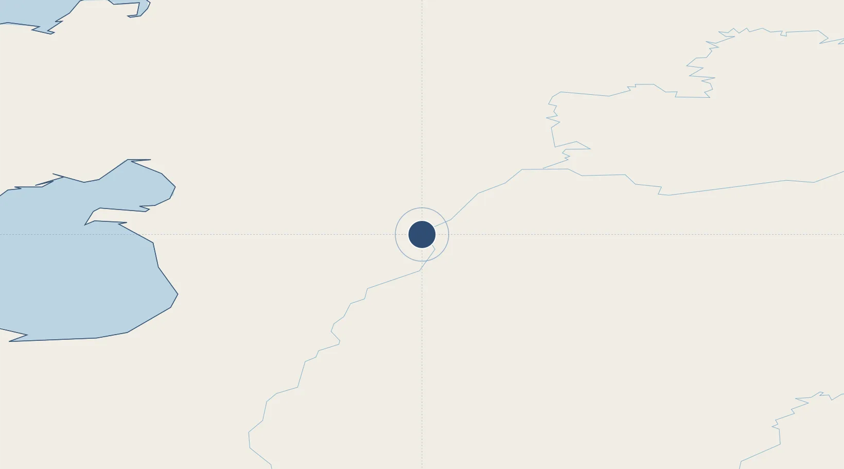
64.3186°, -158.7420°
3,986 ft
Longest runway
1
Runways
181 ft
Elevation
Runway & Layout

Runways · 1
| Runway | Dimensions | Surface | True heading | Lit |
|---|---|---|---|---|
| 03/21 | 3,986 × 100ft | GRVL-G | 047° | — |
Airport Specifications
IATA code
KAL
ICAO code
PAKV
Airport class
Small airport
Scheduled service
Yes
Runway surface
GRVL-G
Served city
Kaltag
Location
Nearby Logistics Neighbours
Airports
- 1Nulato Airport56 km
- 2Koyukuk Airport79 km
- 3Edward G. Pitka Sr Airport98 km
- 4Unalakleet Airport111 km
- 5Shaktoolik Airport120 km
Cities
- 1Sledge Island359 km
- 2Susitna519 km
- 3Houston540 km
- 4Uelen554 km
- 5Port MacKenzie562 km
Ports
- 1Unalakleet110 km
- 2St. Michael186 km
- 3Deering270 km
- 4Solomon273 km
- 5Kotlik277 km
Trade Zones
- 1FTZ No. 195 Fairbanks529 km
- 2FTZ No. 160 Anchorage565 km
- 3FTZ No. 108 Valdez722 km
- 4FTZ No. 232 Kodiak809 km
- 5PrInce George Logistics Park2313 km
DatabookThe Record of Consolidated Knowledge
United States beyond logistics?