Small airport · United States
Allakaket AirportPFAL
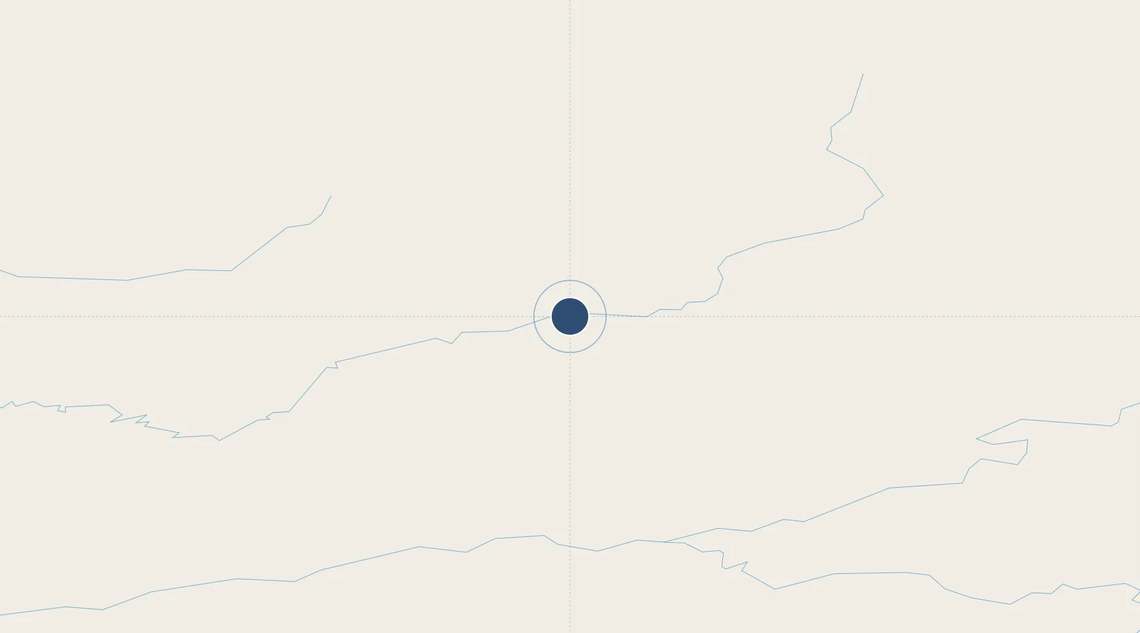
66.5518°, -152.6220°
4,000 ft
Longest runway
1
Runways
441 ft
Elevation
Runway & Layout

Runways · 1
| Runway | Dimensions | Surface | True heading | Lit |
|---|---|---|---|---|
| 05/23 | 4,000 × 100ft | GRVL-G | 073° | — |
Airport Specifications
IATA code
AET
ICAO code
PFAL
Airport class
Small airport
Scheduled service
Yes
Runway surface
GRVL-G
Served city
Allakaket
Location
Nearby Logistics Neighbours
Airports
- 1Bettles Airport63 km
- 2Indian Mountain LRRS Airport79 km
- 3Hughes Airport93 km
- 4Ralph M Calhoun Memorial Airport155 km
- 5Rampart Airport161 km
Cities
- 1Point Barrow550 km
- 2Houston564 km
- 3Susitna567 km
- 4Port MacKenzie602 km
- 5Elmendorf Air Force Base605 km
Ports
- 1Prudhoe Bay454 km
- 2Unalakleet482 km
- 3Wainwright544 km
- 4Barrow552 km
- 5Anchorage608 km
Trade Zones
- 1FTZ No. 195 Fairbanks294 km
- 2FTZ No. 160 Anchorage606 km
- 3FTZ No. 108 Valdez676 km
- 4FTZ No. 232 Kodiak1011 km
- 5PrInce George Logistics Park2130 km
DatabookThe Record of Consolidated Knowledge
United States beyond logistics?