Small airport · United States
Ralph M Calhoun Memorial AirportPATA
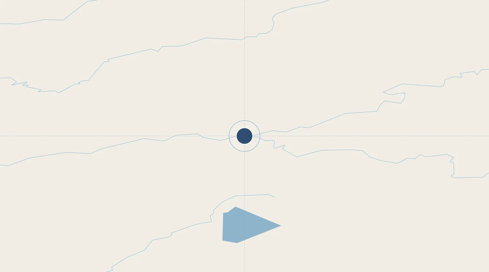
65.1744°, -152.1090°
4,400 ft
Longest runway
1
Runways
236 ft
Elevation
Runway & Layout

Navaids
BCC NDB Bear Creek 212 kHz
TAL VOR-DME Tanana 116.60 MHz
Runways · 1
| Runway | Dimensions | Surface | True heading | Lit |
|---|---|---|---|---|
| 07/25 | 4,400 × 100ft | GRVL-P | 089° | — |
Airport Specifications
IATA code
TAL
ICAO code
PATA
Airport class
Small airport
Scheduled service
Yes
Runway surface
GRVL-P
Served city
Tanana
Location
Nearby Logistics Neighbours
Airports
- 1Manley Hot Springs Airport72 km
- 2Rampart Airport99 km
- 3Indian Mountain LRRS Airport117 km
- 4Minto Al Wright Airport128 km
- 5Hughes Airport138 km
Cities
- 1Houston410 km
- 2Susitna413 km
- 3Port MacKenzie448 km
- 4Elmendorf Air Force Base451 km
- 5Anchorage452 km
Ports
- 1Anchorage454 km
- 2Nikiski501 km
- 3Drift River514 km
- 4Kenai516 km
- 5Whittier518 km
Trade Zones
- 1FTZ No. 195 Fairbanks210 km
- 2FTZ No. 160 Anchorage451 km
- 3FTZ No. 108 Valdez534 km
- 4FTZ No. 232 Kodiak861 km
- 5PrInce George Logistics Park2044 km
DatabookThe Record of Consolidated Knowledge
United States beyond logistics?