Small airport · United States

Rampart AirportRMP

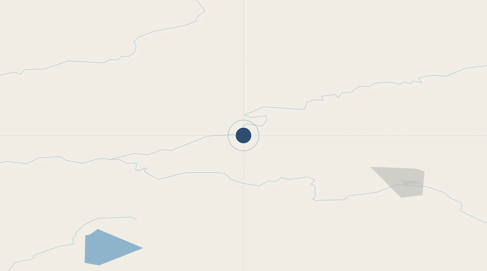
65.5079°, -150.1410°
3,520 ft
Longest runway
1
Runways
302 ft
Elevation

Runway & Layout

Rampart Airport runway & taxiway layout
Runway & taxiway layout — OpenStreetMap (ODbL) / OurAirports

Runways · 1

RunwayDimensions SurfaceTrue headingLit
11/29 3,520 × 75ft GRVL-G 139°
OurAirports

Airport Specifications

IATA code
RMP
OurAirports
ICAO code
PFMP
OurAirports
Airport class
Small airport
OurAirports
Scheduled service
Yes
OurAirports
Runway surface
GRVL-G
OurAirports
Served city
Rampart
OurAirports

Location

Location of RMP
Natural Earth 10m (public domain) · Alaska · RMP · 65.51, -150.14GoogleOSMYandex

Nearby Logistics Neighbours

Airports
  1. 1Minto Al Wright Airport54 km
  2. 2Manley Hot Springs Airport62 km
  3. 3Stevens Village Airport75 km
  4. 4Ralph M Calhoun Memorial Airport99 km
  5. 5Nenana Municipal Airport118 km
Nearest neighbours — logibook spatial index (haversine) over the source coordinates
Cities
  1. 1Houston431 km
  2. 2Susitna442 km
  3. 3Port MacKenzie472 km
  4. 4Elmendorf Air Force Base474 km
  5. 5Anchorage475 km
Nearest neighbours — logibook spatial index (haversine) over the source coordinates
Ports
  1. 1Anchorage477 km
  2. 2Valdez525 km
  3. 3Whittier531 km
  4. 4Nikiski540 km
  5. 5Prudhoe Bay541 km
Nearest neighbours — logibook spatial index (haversine) over the source coordinates
Trade Zones
  1. 1FTZ No. 195 Fairbanks135 km
  2. 2FTZ No. 160 Anchorage475 km
  3. 3FTZ No. 108 Valdez522 km
  4. 4FTZ No. 232 Kodiak913 km
  5. 5PrInce George Logistics Park1977 km
Nearest neighbours — logibook spatial index (haversine) over the source coordinates
DatabookThe Record of Consolidated Knowledge
United States beyond logistics?
Browse databook

All Sources

AirportsOurAirports
Public domain
Portsthe NGA World Port Index
Public domain (US gov)
LocationsUN/LOCODE
UN/LOCODE — free
Trade Zonesthe World Bank SEZ database
CC BY 4.0
Trade ZonesOpen Zone Map
CC BY
InfrastructureOpenStreetMap
ODbL 1.0
← United States airports