Small airport · United States
Bettles AirportPABT
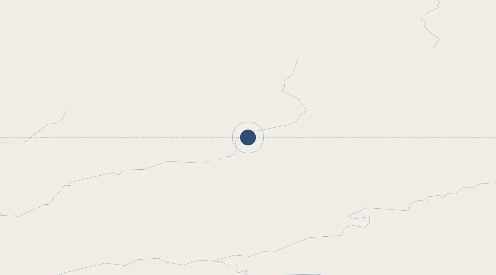
66.9139°, -151.5290°
5,190 ft
Longest runway
1
Runways
647 ft
Elevation
Runway & Layout

Radio Frequencies
ASOS
135.45 MHz
CTAF
122.9 MHz
CNTR
124.6 MHz
ANCHORAGE CNTR
FSS
122.2 MHz
FAIRBANKS RDO
MISC
116 MHz
TWEB
Navaids
BTT VOR-DME Bettles 116.00 MHz
EAV NDB Evansville 391 kHz
Runways · 1
| Runway | Dimensions | Surface | True heading | Lit |
|---|---|---|---|---|
| 01/19 | 5,190 × 150ft | Gravel | 032° | ✓ |
Airport Specifications
IATA code
BTT
ICAO code
PABT
Airport class
Small airport
Scheduled service
Yes
Runway surface
Gravel
Served city
Bettles
Location
Nearby Logistics Neighbours
Airports
- 1Allakaket Airport63 km
- 2Anaktuvuk Pass Airport136 km
- 3Indian Mountain LRRS Airport141 km
- 4Stevens Village Airport148 km
- 5Hughes Airport155 km
Cities
- 1Point Barrow526 km
- 2Herschel Island591 km
- 3Houston593 km
- 4Susitna600 km
- 5Port MacKenzie633 km
Ports
- 1Prudhoe Bay401 km
- 2Barrow528 km
- 3Wainwright536 km
- 4Anchorage638 km
- 5Nikiski693 km
Trade Zones
- 1FTZ No. 195 Fairbanks288 km
- 2FTZ No. 160 Anchorage636 km
- 3FTZ No. 108 Valdez690 km
- 4FTZ No. 232 Kodiak1056 km
- 5PrInce George Logistics Park2106 km
DatabookThe Record of Consolidated Knowledge
United States beyond logistics?