Small airport · United States

Wasilla Creek Airpark05AK

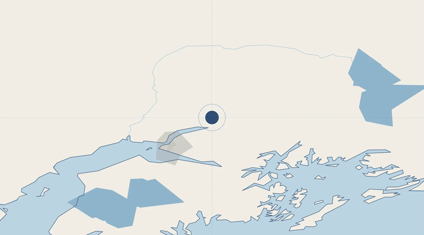
61.6683°, -149.1880°
2,000 ft
Longest runway
1
Runways
620 ft
Elevation

Runway & Layout

Wasilla Creek Airpark runway & taxiway layout
Runway & taxiway layout — OpenStreetMap (ODbL) / OurAirports

Runways · 1

RunwayDimensions SurfaceTrue headingLit
01/19 2,000 × 100ft TURF-GRVL
OurAirports

Airport Specifications

ICAO code
05AK
OurAirports
Airport class
Small airport
OurAirports
Scheduled service
Yes
OurAirports
Runway surface
TURF-GRVL
OurAirports
Served city
Palmer
OurAirports

Location

Location of 05AK
Natural Earth 10m (public domain) · Alaska · 05AK · 61.67, -149.19GoogleOSMYandex

Nearby Logistics Neighbours

Airports
  1. 1Warren "Bud" Woods Palmer Municipal Airport10 km
  2. 2Wasilla Airport22 km
  3. 3Birchwood Airport33 km
  4. 4Elmendorf Air Force Base57 km
  5. 5Merrill Field62 km
Nearest neighbours — logibook spatial index (haversine) over the source coordinates
Cities
  1. 1Houston33 km
  2. 2Elmendorf Air Force Base57 km
  3. 3Port MacKenzie59 km
  4. 4Anchorage61 km
  5. 5Susitna71 km
Nearest neighbours — logibook spatial index (haversine) over the source coordinates
Ports
  1. 1Anchorage63 km
  2. 2Whittier102 km
  3. 3Nikiski161 km
  4. 4Kenai167 km
  5. 5Valdez168 km
Nearest neighbours — logibook spatial index (haversine) over the source coordinates
Trade Zones
  1. 1FTZ No. 160 Anchorage61 km
  2. 2FTZ No. 108 Valdez162 km
  3. 3FTZ No. 195 Fairbanks361 km
  4. 4FTZ No. 232 Kodiak530 km
  5. 5PrInce George Logistics Park1771 km
Nearest neighbours — logibook spatial index (haversine) over the source coordinates
DatabookThe Record of Consolidated Knowledge
United States beyond logistics?
Browse databook

All Sources

AirportsOurAirports
Public domain
Portsthe NGA World Port Index
Public domain (US gov)
LocationsUN/LOCODE
UN/LOCODE — free
Trade Zonesthe World Bank SEZ database
CC BY 4.0
Trade ZonesOpen Zone Map
CC BY
InfrastructureOpenStreetMap
ODbL 1.0
← United States airports