Medium airport · United States
Warren "Bud" Woods Palmer Municipal AirportPAAQ
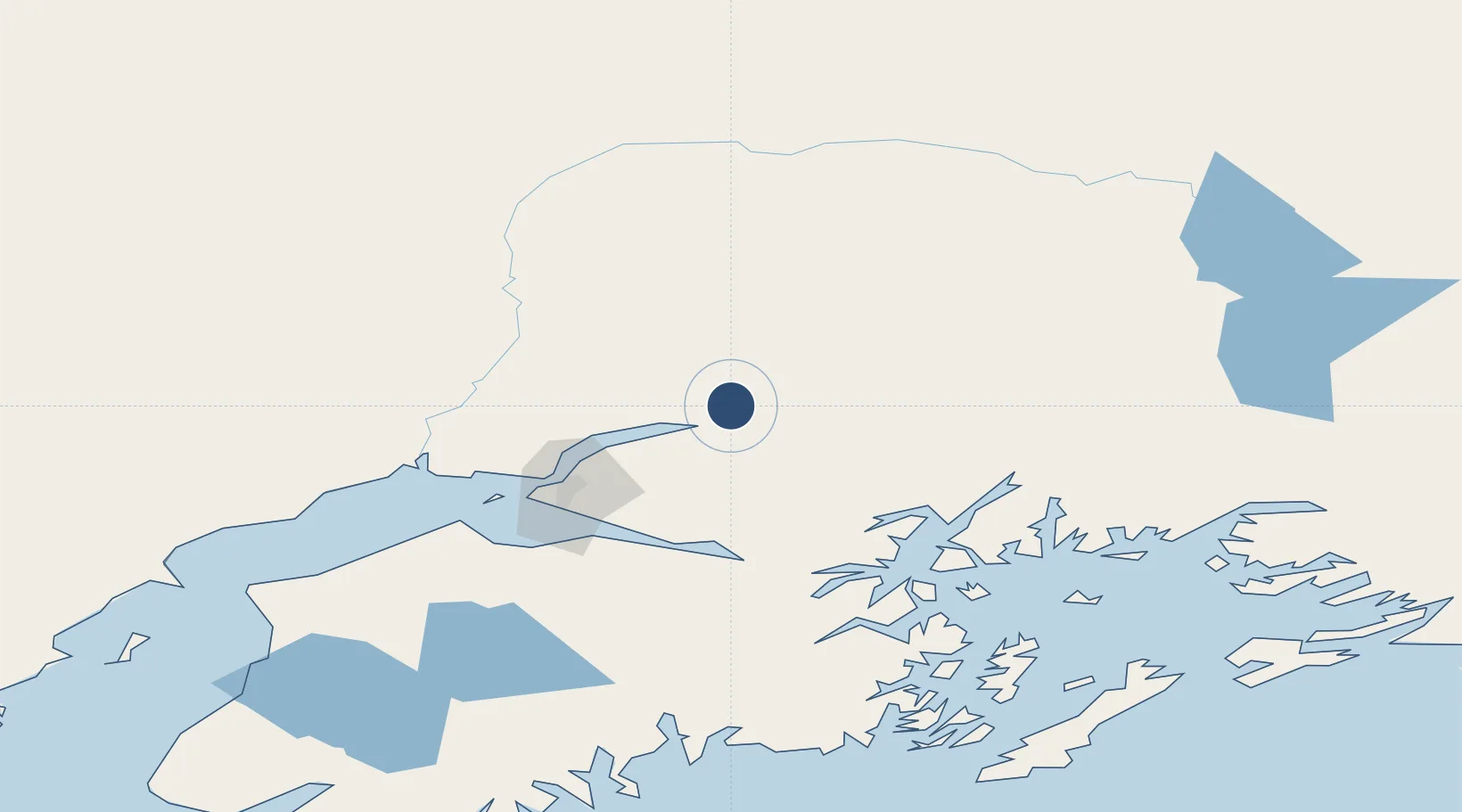
61.5949°, -149.0890°
6,006 ft
Longest runway
3
Runways
242 ft
Elevation
Runway & Layout

Radio Frequencies
ASOS
134.75 MHz
CTAF
123.6 MHz
A/D
118.6 MHz
ANCHORAGE CNTR
FSS
123.6 MHz
RDO
RFSS
123.6 MHz
KENAI RDO
Runways · 3
| Runway | Dimensions | Surface | True heading | Lit |
|---|---|---|---|---|
| 16/34 | 6,006 × 100ft | Asphalt | 180° | ✓ |
| 09/27 | 3,617 × 75ft | Asphalt | 113° | ✓ |
| 16S/34S | 1,560 × 60ft | Gravel | 180° | — |
Airport Specifications
IATA code
PAQ
ICAO code
PAAQ
Airport class
Medium airport
Scheduled service
No
Runway surface
Asphalt
Served city
Palmer
Location
Nearby Logistics Neighbours
Airports
- 1Wasilla Creek Airpark10 km
- 2Wasilla Airport24 km
- 3Birchwood Airport30 km
- 4Elmendorf Air Force Base54 km
- 5Merrill Field59 km
Cities
- 1Houston39 km
- 2Elmendorf Air Force Base54 km
- 3Port MacKenzie57 km
- 4Anchorage58 km
- 5Susitna75 km
Trade Zones
- 1FTZ No. 160 Anchorage58 km
- 2FTZ No. 108 Valdez154 km
- 3FTZ No. 195 Fairbanks368 km
- 4FTZ No. 232 Kodiak526 km
- 5PrInce George Logistics Park1763 km
DatabookThe Record of Consolidated Knowledge
United States beyond logistics?