Small airport · United States
Shaktoolik AirportPFSH
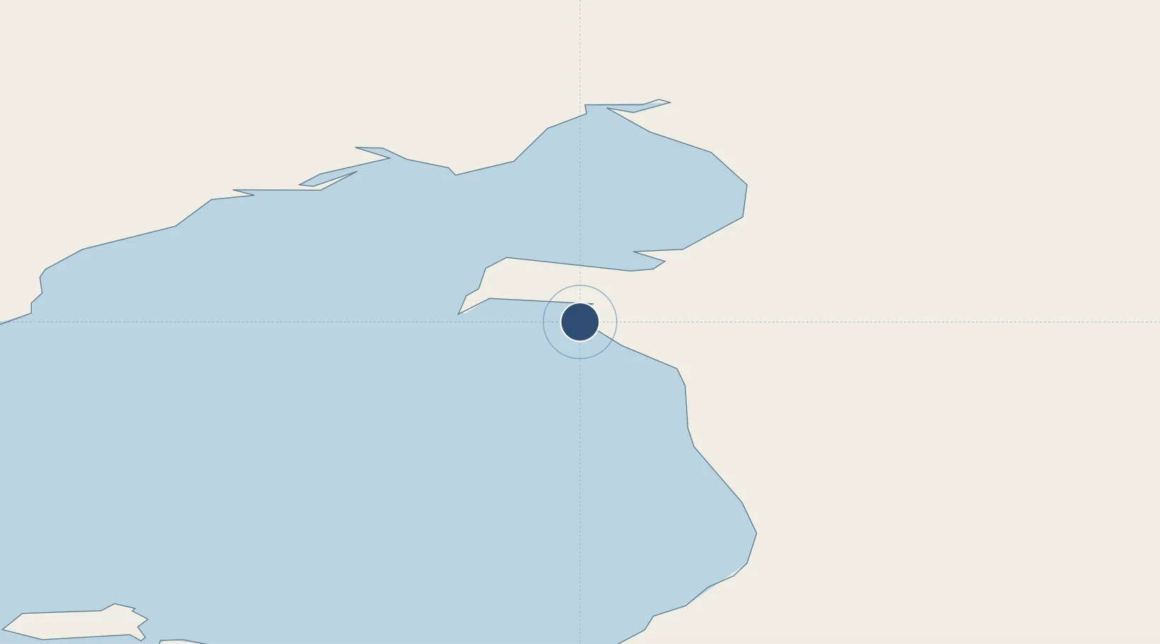
64.3711°, -161.2240°
4,001 ft
Longest runway
1
Runways
24 ft
Elevation
Runway & Layout

Runways · 1
| Runway | Dimensions | Surface | True heading | Lit |
|---|---|---|---|---|
| 14/32 | 4,001 × 75ft | GRVL-G | — | — |
Airport Specifications
IATA code
SKK
ICAO code
PFSH
Airport class
Small airport
Scheduled service
Yes
Runway surface
GRVL-G
Served city
Shaktoolik
Location
Nearby Logistics Neighbours
Airports
- 1Elim Airport57 km
- 2Unalakleet Airport58 km
- 3Koyuk Alfred Adams Airport63 km
- 4Golovin Airport88 km
- 5St Michael Airport107 km
Cities
- 1Sledge Island239 km
- 2Uelen446 km
- 3Lavrentiya479 km
- 4Provideniya, Bukhta580 km
- 5Susitna626 km
Ports
- 1Unalakleet58 km
- 2St. Michael106 km
- 3Solomon154 km
- 4Kotlik188 km
- 5Nome202 km
Trade Zones
- 1FTZ No. 195 Fairbanks645 km
- 2FTZ No. 160 Anchorage672 km
- 3FTZ No. 108 Valdez835 km
- 4FTZ No. 232 Kodiak868 km
- 5PrInce George Logistics Park2431 km
DatabookThe Record of Consolidated Knowledge
United States beyond logistics?