Medium airport · United States
Anaktuvuk Pass AirportPAKP
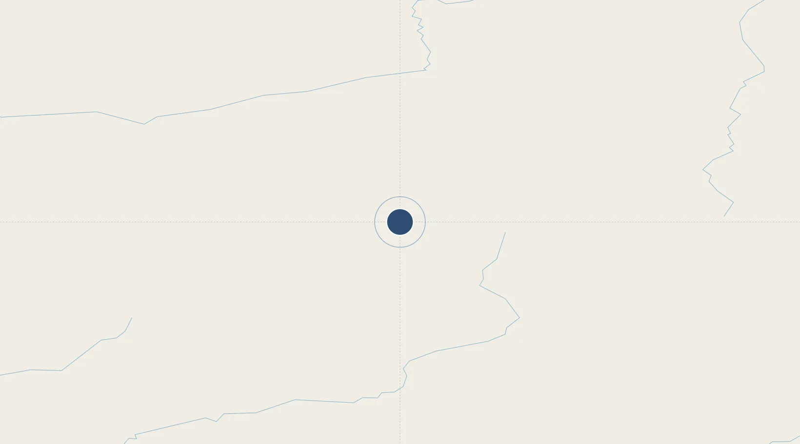
68.1336°, -151.7430°
4,800 ft
Longest runway
1
Runways
2,102 ft
Elevation
Runway & Layout

Radio Frequencies
AWOS
135.75 MHz
AWOS 3
CTAF
122.8 MHz
CNTR
124.6 MHz
ANCHORAGE CNTR
FSS
122.15 MHz
DEADHORSE RDO
Navaids
AKP NDB Anaktuvuk Pass 348 kHz
Runways · 1
| Runway | Dimensions | Surface | True heading | Lit |
|---|---|---|---|---|
| 02/20 | 4,800 × 100ft | GRAVEL-G | 038° | — |
Airport Specifications
IATA code
AKP
ICAO code
PAKP
Airport class
Medium airport
Scheduled service
Yes
Runway surface
GRAVEL-G
Served city
Anaktuvuk Pass
Location
Nearby Logistics Neighbours
Airports
- 1Bettles Airport136 km
- 2Allakaket Airport180 km
- 3Nuiqsut Airport233 km
- 4Indian Mountain LRRS Airport253 km
- 5Hughes Airport257 km
Cities
- 1Point Barrow398 km
- 2Herschel Island532 km
- 3Houston728 km
- 4Susitna736 km
- 5Sledge Island760 km
Ports
- 1Prudhoe Bay277 km
- 2Barrow400 km
- 3Wainwright427 km
- 4Unalakleet624 km
- 5Anchorage774 km
Trade Zones
- 1FTZ No. 195 Fairbanks407 km
- 2FTZ No. 160 Anchorage772 km
- 3FTZ No. 108 Valdez819 km
- 4FTZ No. 232 Kodiak1190 km
- 5PrInce George Logistics Park2183 km
DatabookThe Record of Consolidated Knowledge
United States beyond logistics?