Small airport · United States

Minto Al Wright Airport51Z

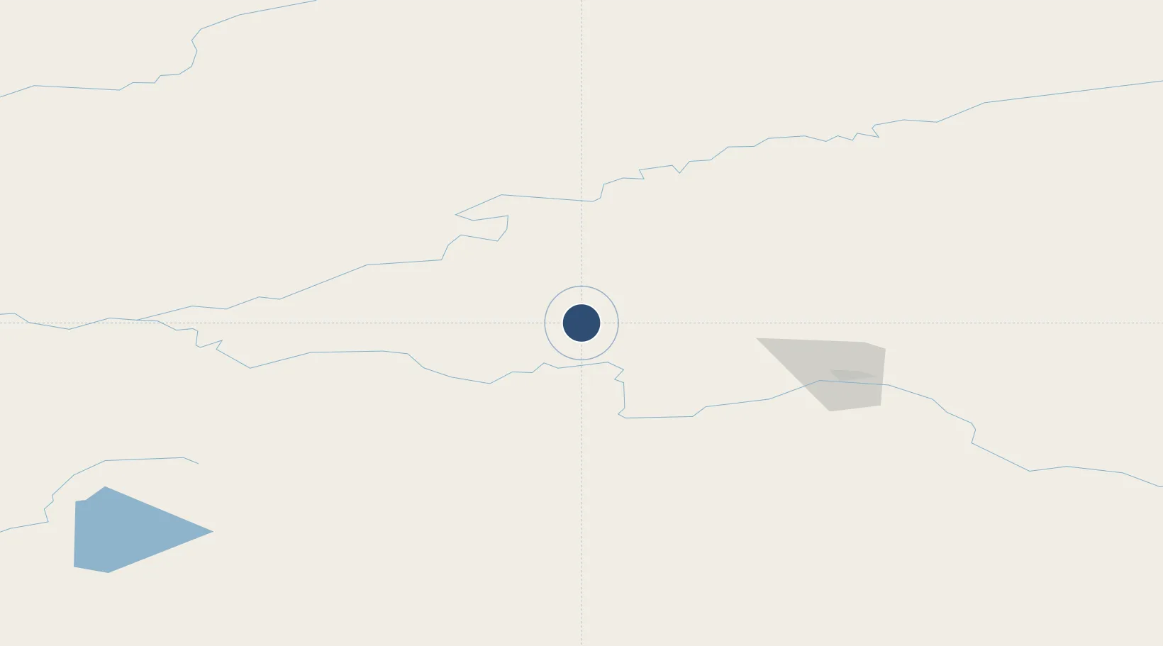
65.1480°, -149.3687°
2,000 ft
Longest runway
1
Runways
460 ft
Elevation

Runway & Layout

Minto Al Wright Airport runway & taxiway layout
Runway & taxiway layout — OpenStreetMap (ODbL) / OurAirports

Runways · 1

RunwayDimensions SurfaceTrue headingLit
01/19 2,000 × 65ft GRVL-G
OurAirports

Airport Specifications

IATA code
MNT
OurAirports
Airport class
Small airport
OurAirports
Scheduled service
Yes
OurAirports
Runway surface
GRVL-G
OurAirports
Served city
Minto
OurAirports

Location

Location of 51Z
Natural Earth 10m (public domain) · Alaska · 51Z · 65.15, -149.37GoogleOSMYandex

Nearby Logistics Neighbours

Airports
  1. 1Rampart Airport54 km
  2. 2Manley Hot Springs Airport62 km
  3. 3Nenana Municipal Airport68 km
  4. 4Fairbanks International Airport80 km
  5. 5Ladd Army Airfield89 km
Nearest neighbours — logibook spatial index (haversine) over the source coordinates
Cities
  1. 1Houston391 km
  2. 2Susitna406 km
  3. 3Port MacKenzie433 km
  4. 4Elmendorf Air Force Base434 km
  5. 5Anchorage436 km
Nearest neighbours — logibook spatial index (haversine) over the source coordinates
Ports
  1. 1Anchorage438 km
  2. 2Valdez475 km
  3. 3Whittier487 km
  4. 4Nikiski507 km
  5. 5Kenai520 km
Nearest neighbours — logibook spatial index (haversine) over the source coordinates
Trade Zones
  1. 1FTZ No. 195 Fairbanks85 km
  2. 2FTZ No. 160 Anchorage435 km
  3. 3FTZ No. 108 Valdez471 km
  4. 4FTZ No. 232 Kodiak883 km
  5. 5PrInce George Logistics Park1927 km
Nearest neighbours — logibook spatial index (haversine) over the source coordinates
DatabookThe Record of Consolidated Knowledge
United States beyond logistics?
Browse databook

All Sources

AirportsOurAirports
Public domain
Portsthe NGA World Port Index
Public domain (US gov)
LocationsUN/LOCODE
UN/LOCODE — free
Trade Zonesthe World Bank SEZ database
CC BY 4.0
Trade ZonesOpen Zone Map
CC BY
InfrastructureOpenStreetMap
ODbL 1.0
← United States airports