Small airport · United States

Manley Hot Springs AirportPAML

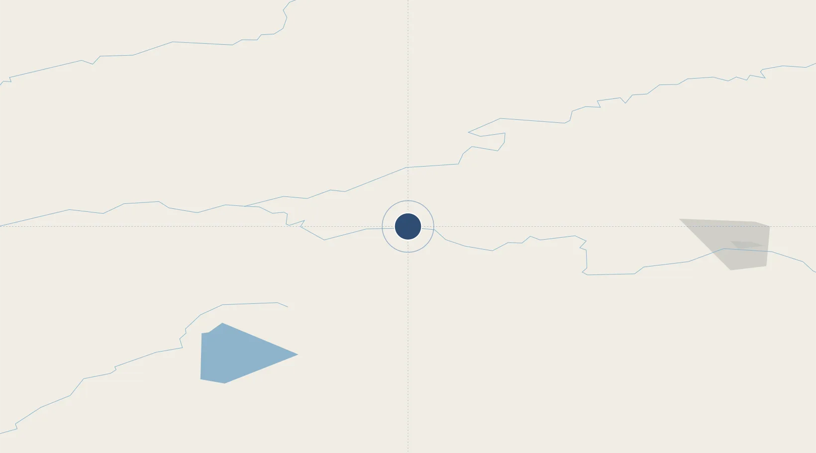
64.9919°, -150.6441°
3,400 ft
Longest runway
1
Runways
270 ft
Elevation

Runway & Layout

Manley Hot Springs Airport runway & taxiway layout
Runway & taxiway layout — OpenStreetMap (ODbL) / OurAirports

Runways · 1

RunwayDimensions SurfaceTrue headingLit
18/36 3,400 × 60ft GRAVEL-F
OurAirports

Airport Specifications

IATA code
MLY
OurAirports
ICAO code
PAML
OurAirports
Airport class
Small airport
OurAirports
Scheduled service
Yes
OurAirports
Runway surface
GRAVEL-F
OurAirports
Served city
Manley Hot Springs
OurAirports

Location

Location of PAML
Natural Earth 10m (public domain) · Alaska · PAML · 64.99, -150.64GoogleOSMYandex

Nearby Logistics Neighbours

Airports
  1. 1Rampart Airport62 km
  2. 2Minto Al Wright Airport62 km
  3. 3Ralph M Calhoun Memorial Airport72 km
  4. 4Nenana Municipal Airport89 km
  5. 5Clear Airport106 km
Nearest neighbours — logibook spatial index (haversine) over the source coordinates
Cities
  1. 1Houston376 km
  2. 2Susitna385 km
  3. 3Port MacKenzie416 km
  4. 4Elmendorf Air Force Base418 km
  5. 5Anchorage420 km
Nearest neighbours — logibook spatial index (haversine) over the source coordinates
Ports
  1. 1Anchorage421 km
  2. 2Whittier479 km
  3. 3Nikiski481 km
  4. 4Valdez484 km
  5. 5Kenai495 km
Nearest neighbours — logibook spatial index (haversine) over the source coordinates
Trade Zones
  1. 1FTZ No. 195 Fairbanks139 km
  2. 2FTZ No. 160 Anchorage419 km
  3. 3FTZ No. 108 Valdez480 km
  4. 4FTZ No. 232 Kodiak852 km
  5. 5PrInce George Logistics Park1973 km
Nearest neighbours — logibook spatial index (haversine) over the source coordinates
DatabookThe Record of Consolidated Knowledge
United States beyond logistics?
Browse databook

All Sources

AirportsOurAirports
Public domain
Portsthe NGA World Port Index
Public domain (US gov)
LocationsUN/LOCODE
UN/LOCODE — free
Trade Zonesthe World Bank SEZ database
CC BY 4.0
Trade ZonesOpen Zone Map
CC BY
InfrastructureOpenStreetMap
ODbL 1.0
← United States airports