Small airport · United States
Kobuk AirportPAOB
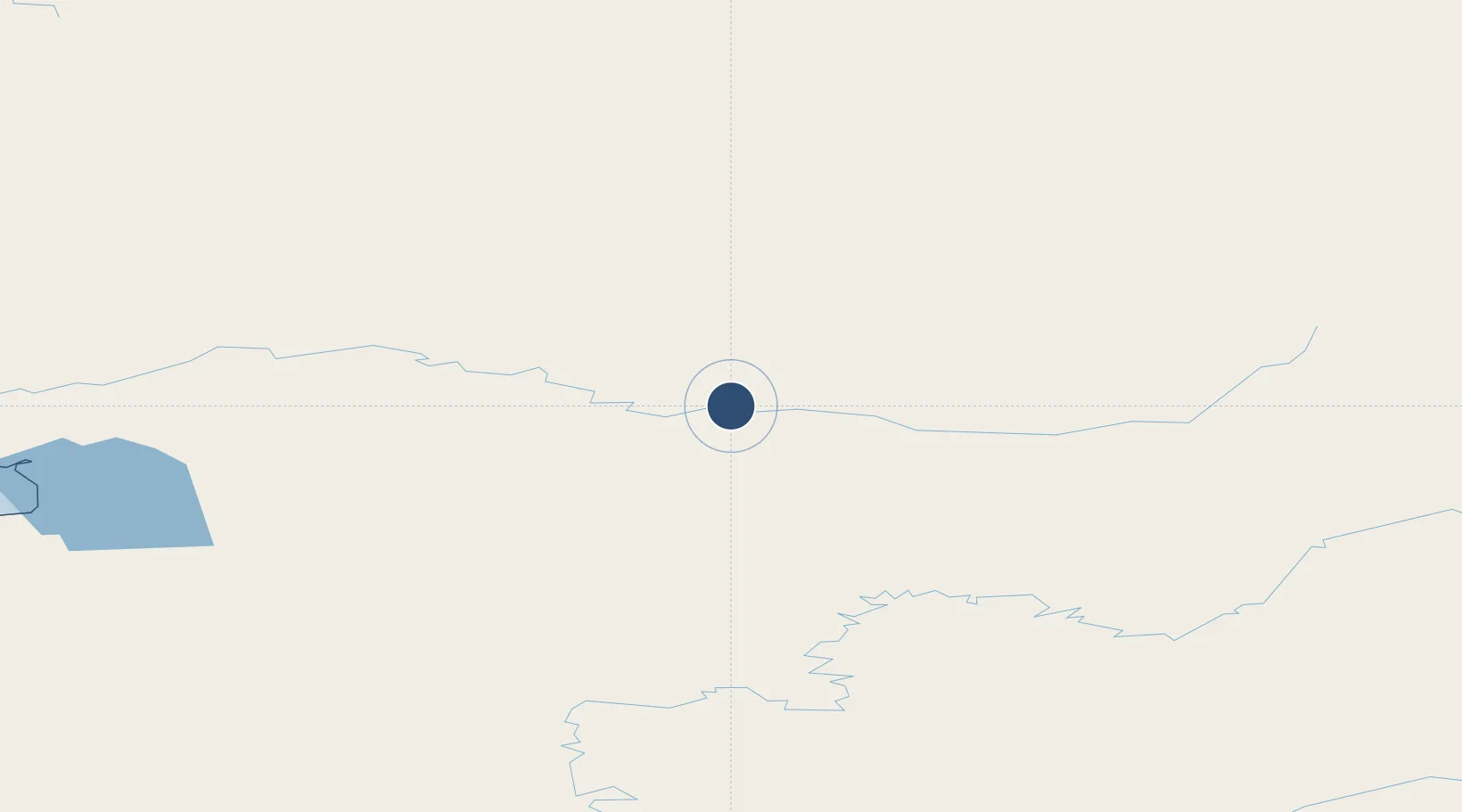
66.9123°, -156.8970°
4,020 ft
Longest runway
1
Runways
137 ft
Elevation
Runway & Layout

Runways · 1
| Runway | Dimensions | Surface | True heading | Lit |
|---|---|---|---|---|
| 09/27 | 4,020 × 75ft | GRVL-G | 106° | — |
Airport Specifications
IATA code
OBU
ICAO code
PAOB
Airport class
Small airport
Scheduled service
Yes
Runway surface
GRVL-G
Served city
Kobuk
Location
Nearby Logistics Neighbours
Airports
- 1Shungnak Airport12 km
- 2Ambler Airport47 km
- 3Huslia Airport137 km
- 4Selawik Airport140 km
- 5Hughes Airport152 km
Cities
- 1Point Barrow486 km
- 2Sledge Island503 km
- 3Uelen577 km
- 4Susitna673 km
- 5Houston678 km
Ports
- 1Kotzebue248 km
- 2Deering275 km
- 3Unalakleet382 km
- 4Solomon432 km
- 5Wainwright434 km
Trade Zones
- 1FTZ No. 195 Fairbanks476 km
- 2FTZ No. 160 Anchorage716 km
- 3FTZ No. 108 Valdez820 km
- 4FTZ No. 232 Kodiak1063 km
- 5PrInce George Logistics Park2317 km
DatabookThe Record of Consolidated Knowledge
United States beyond logistics?