Transport Functions
Port
Hub Profile
Region
YT
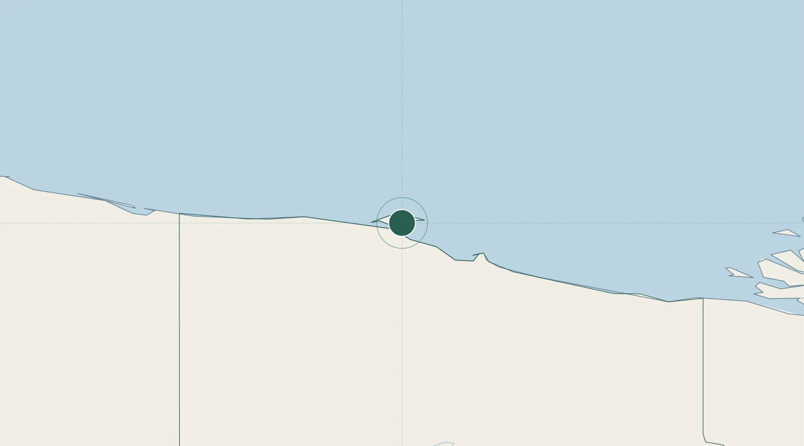
Location
Nearby Logistics Neighbours
Cities
- 1Valdez995 km
- 2Houston1008 km
- 3Susitna1033 km
- 4Elmendorf Air Force Base1046 km
- 5Orca1047 km
Ports
- 1Prudhoe Bay366 km
- 2Valdez995 km
- 3Orca1045 km
- 4Cordova1049 km
- 5Anchorage1052 km
Airports
Trade Zones
- 1FTZ No. 195 Fairbanks643 km
- 2FTZ No. 108 Valdez995 km
- 3FTZ No. 160 Anchorage1049 km
- 4FTZ No. 232 Kodiak1518 km
- 5PrInce George Logistics Park1926 km
DatabookThe Record of Consolidated Knowledge
Canada beyond logistics?