Small airport · United States
Kipnuk AirportPAKI
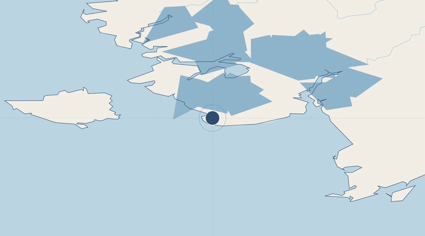
59.9318°, -164.0282°
3,200 ft
Longest runway
1
Runways
11 ft
Elevation
Runway & Layout

Navaids
IIK VOR-DME Kipnuk 115.90 MHz
Runways · 1
| Runway | Dimensions | Surface | True heading | Lit |
|---|---|---|---|---|
| 17/35 | 3,200 × 60ft | GRAVEL-G | 166° | — |
Airport Specifications
IATA code
KPN
ICAO code
PAKI
Airport class
Small airport
Scheduled service
Yes
Runway surface
GRAVEL-G
Served city
Kipnuk
Location
Nearby Logistics Neighbours
Airports
- 1Chefornak Airport27 km
- 2Kwigillingok Airport48 km
- 3Kongiganak Airport64 km
- 4Nightmute Airport71 km
- 5Tuntutuliak Airport89 km
Cities
- 1Sledge Island518 km
- 2Lenard Harbour544 km
- 3Afognak679 km
- 4Kaguyak686 km
- 5Dutch Harbor689 km
Ports
- 1Platinum160 km
- 2Bethel161 km
- 3Dillingham329 km
- 4Clarks Point333 km
- 5Ekuk333 km
Trade Zones
- 1FTZ No. 232 Kodiak657 km
- 2FTZ No. 160 Anchorage784 km
- 3FTZ No. 108 Valdez973 km
- 4FTZ No. 195 Fairbanks998 km
- 5PrInce George Logistics Park2547 km
DatabookThe Record of Consolidated Knowledge
United States beyond logistics?