Channel & Berth Profile
Pilotage, Tugs & Services
Pilotage availableYES
Potable waterYES
Diesel bunkersYES
Facilities & Capabilities
Container—
Ro-Ro—
Liquid bulk—
Dry bulk—
Oil terminal—
Break bulk—
Dry dock—
Repairs—
Bunkering—
Rail link—
Dangerous cargo—
ISPS security—
Harbour Specifications
Harbour size
Very Small
Harbour type
Coastal (Natural)
Shelter
Fair
Water body
Bering Sea; North Pacific Ocean
Tidal range
1.2 m
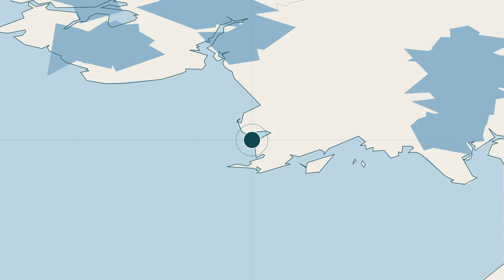
Location
Nearby Logistics Neighbours
Ports
- 1Ekuk189 km
- 2Clarks Point189 km
- 3Dillingham192 km
- 4Bethel200 km
- 5Egegik274 km
Cities
- 1Lenard Harbour435 km
- 2Kaguyak531 km
- 3Afognak538 km
- 4Jakolof Bay588 km
- 5Dutch Harbor639 km
Airports
- 1Platinum Airport0 km
- 2Goodnews Airport19 km
- 3Cape Newenham LRRS Airport43 km
- 4Quinhagak Airport82 km
- 5Togiak Airport82 km
Trade Zones
- 1FTZ No. 232 Kodiak507 km
- 2FTZ No. 160 Anchorage705 km
- 3FTZ No. 108 Valdez888 km
- 4FTZ No. 195 Fairbanks979 km
- 5PrInce George Logistics Park2429 km
DatabookThe Record of Consolidated Knowledge
United States beyond logistics?