Small airport · United States
Nightmute AirportPAGT
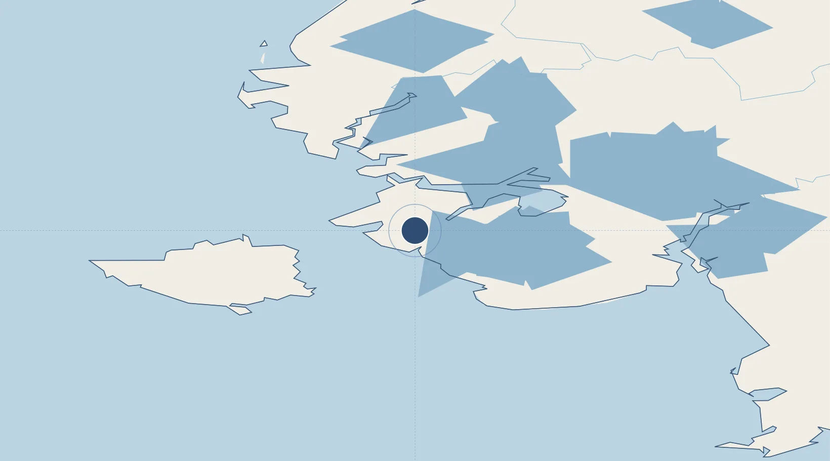
60.4691°, -164.7041°
3,200 ft
Longest runway
1
Runways
4 ft
Elevation
Runway & Layout

Runways · 1
| Runway | Dimensions | Surface | True heading | Lit |
|---|---|---|---|---|
| 03/21 | 3,200 × 75ft | GRVL-P | 040° | — |
Airport Specifications
IATA code
NME
ICAO code
PAGT
Airport class
Small airport
Scheduled service
Yes
Runway surface
GRVL-P
Served city
Nightmute
Location
Nearby Logistics Neighbours
Airports
- 1Toksook Bay Airport23 km
- 2Tununak Airport32 km
- 3Mertarvik Airport40 km
- 4Chefornak Airport44 km
- 5Newtok Seaplane Base52 km
Cities
- 1Sledge Island453 km
- 2Lenard Harbour610 km
- 3Provideniya, Bukhta620 km
- 4Lavrentiya651 km
- 5Uelen683 km
Ports
- 1Bethel167 km
- 2Platinum228 km
- 3Kotlik292 km
- 4St. Michael363 km
- 5Dillingham383 km
Trade Zones
- 1FTZ No. 232 Kodiak714 km
- 2FTZ No. 160 Anchorage805 km
- 3FTZ No. 195 Fairbanks990 km
- 4FTZ No. 108 Valdez995 km
- 5PrInce George Logistics Park2581 km
DatabookThe Record of Consolidated Knowledge
United States beyond logistics?