Small airport · United States
Kwigillingok AirportPAGG
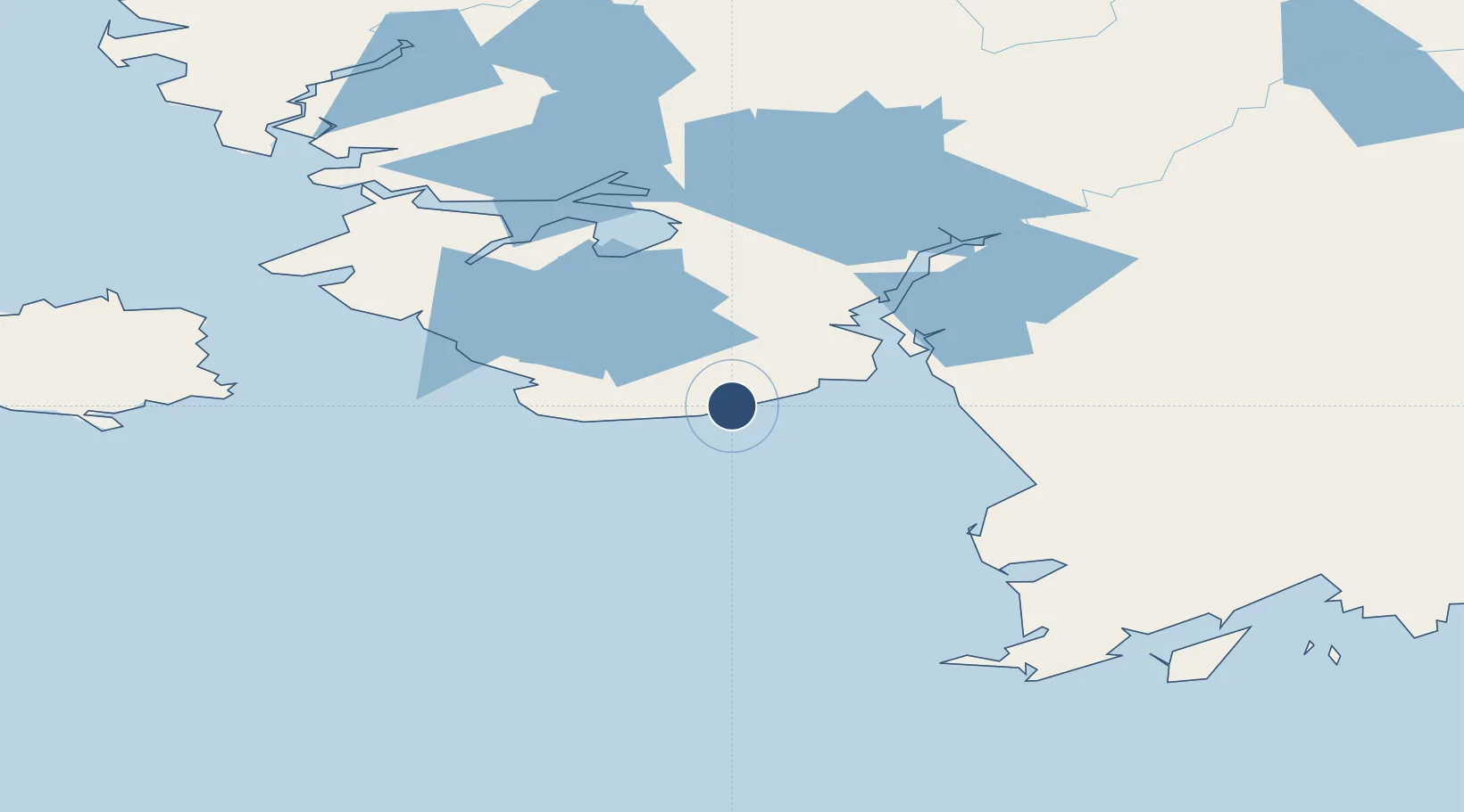
59.8765°, -163.1690°
1,835 ft
Longest runway
1
Runways
18 ft
Elevation
Runway & Layout

Runways · 1
| Runway | Dimensions | Surface | True heading | Lit |
|---|---|---|---|---|
| 15/33 | 1,835 × 40ft | GRVL-P | 165° | — |
Airport Specifications
IATA code
KWK
ICAO code
PAGG
Airport class
Small airport
Scheduled service
Yes
Runway surface
GRVL-P
Served city
Kwigillingok
Location
Nearby Logistics Neighbours
Airports
- 1Kongiganak Airport19 km
- 2Kipnuk Airport48 km
- 3Tuntutuliak Airport60 km
- 4Chefornak Airport68 km
- 5Eek Airport73 km
Cities
- 1Lenard Harbour531 km
- 2Sledge Island536 km
- 3Afognak631 km
- 4Kaguyak641 km
- 5Jakolof Bay655 km
Ports
- 1Platinum122 km
- 2Bethel132 km
- 3Dillingham281 km
- 4Clarks Point286 km
- 5Ekuk286 km
Trade Zones
- 1FTZ No. 232 Kodiak610 km
- 2FTZ No. 160 Anchorage740 km
- 3FTZ No. 108 Valdez928 km
- 4FTZ No. 195 Fairbanks966 km
- 5PrInce George Logistics Park2499 km
DatabookThe Record of Consolidated Knowledge
United States beyond logistics?