Channel & Berth Profile
Pilotage, Tugs & Services
Pilotage availableYES
Potable waterYES
Facilities & Capabilities
Container—
Ro-Ro—
Liquid bulk—
Dry bulk—
Oil terminal—
Break bulk—
Dry dock—
Repairs—
BunkeringYES
Rail link—
Dangerous cargo—
ISPS security—
Harbour Specifications
Harbour size
Very Small
Harbour type
River (Natural)
Shelter
Fair
Water body
Bering Sea; North Pacific Ocean
Tidal range
1.2 m
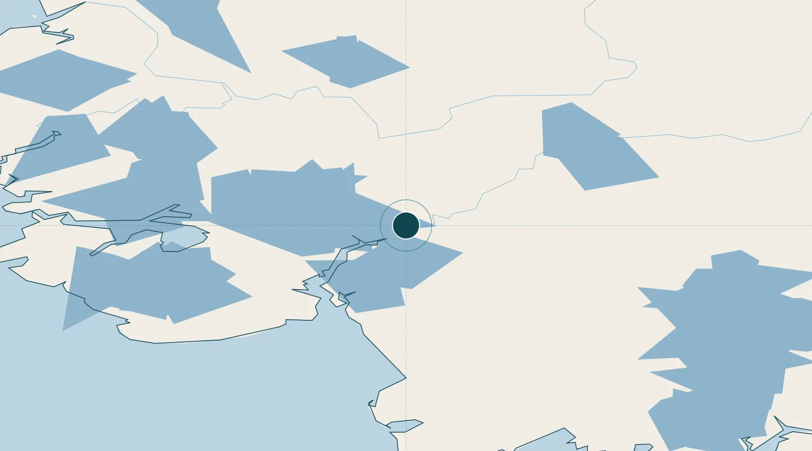
Location
Nearby Logistics Neighbours
Ports
- 1Platinum200 km
- 2Kotlik265 km
- 3Dillingham268 km
- 4Clarks Point281 km
- 5Ekuk284 km
Cities
- 1Sledge Island467 km
- 2Jakolof Bay584 km
- 3Afognak595 km
- 4Susitna606 km
- 5Kaguyak633 km
Airports
- 1Bethel Airport8 km
- 2Napaskiak Airport13 km
- 3Kwethluk Airport15 km
- 4Akiachak Airport16 km
- 5Napakiak Airport20 km
Trade Zones
- 1FTZ No. 232 Kodiak590 km
- 2FTZ No. 160 Anchorage638 km
- 3FTZ No. 108 Valdez827 km
- 4FTZ No. 195 Fairbanks838 km
- 5PrInce George Logistics Park2418 km
DatabookThe Record of Consolidated Knowledge
United States beyond logistics?