Small airport · United States
Tuntutuliak AirportA61
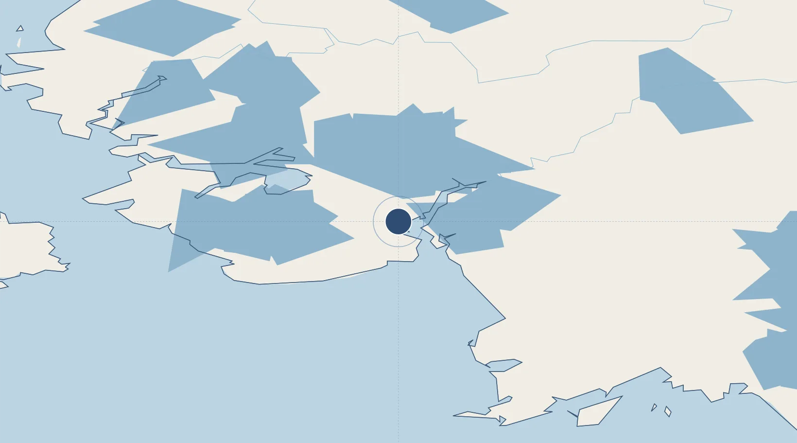
60.3512°, -162.6545°
3,005 ft
Longest runway
1
Runways
16 ft
Elevation
Runway & Layout

Runways · 1
| Runway | Dimensions | Surface | True heading | Lit |
|---|---|---|---|---|
| 02/20 | 3,005 × 75ft | GRAVEL-G | — | ✓ |
Airport Specifications
IATA code
WTL
ICAO code
A61
Airport class
Small airport
Scheduled service
Yes
Runway surface
GRAVEL-G
Served city
Tuntutuliak
Location
Nearby Logistics Neighbours
Airports
- 1Eek Airport37 km
- 2Kongiganak Airport45 km
- 3Napakiak Airport53 km
- 4Kasigluk Airport58 km
- 5Kwigillingok Airport60 km
Cities
- 1Sledge Island494 km
- 2Lenard Harbour582 km
- 3Afognak620 km
- 4Jakolof Bay628 km
- 5Kaguyak643 km
Ports
- 1Bethel73 km
- 2Platinum155 km
- 3Dillingham276 km
- 4Clarks Point285 km
- 5Ekuk286 km
Trade Zones
- 1FTZ No. 232 Kodiak606 km
- 2FTZ No. 160 Anchorage699 km
- 3FTZ No. 108 Valdez887 km
- 4FTZ No. 195 Fairbanks910 km
- 5PrInce George Logistics Park2469 km
DatabookThe Record of Consolidated Knowledge
United States beyond logistics?