Channel & Berth Profile
Pilotage, Tugs & Services
Pilotage availableYES
Potable waterYES
Facilities & Capabilities
Container—
Ro-Ro—
Liquid bulk—
Dry bulk—
Oil terminal—
Break bulk—
Dry dock—
RepairsNO
Bunkering—
Rail link—
Dangerous cargo—
ISPS security—
Harbour Specifications
Harbour size
Very Small
Harbour type
Open Roadstead
Shelter
Fair
Water body
Bristol Bay; Bering Sea; North Pacific Ocean
Tidal range
4.6 m
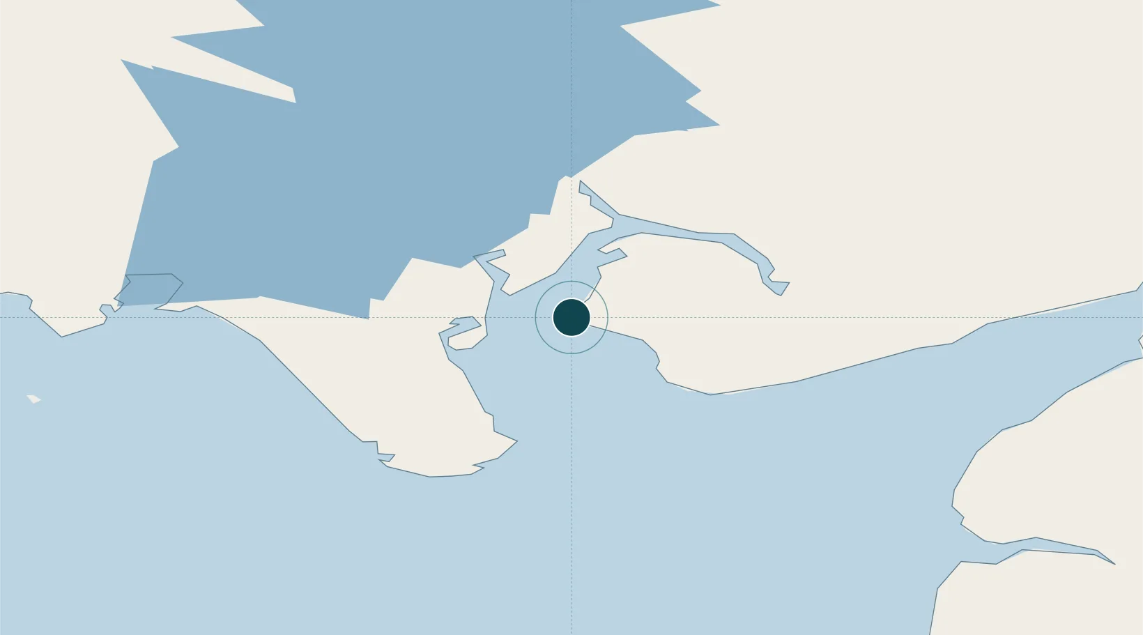
Location
Nearby Logistics Neighbours
Ports
- 1Clarks Point4 km
- 2Dillingham25 km
- 3Naknek90 km
- 4Egegik98 km
- 5Pilot Point150 km
Cities
- 1Afognak350 km
- 2Kaguyak357 km
- 3Jakolof Bay408 km
- 4Lenard Harbour473 km
- 5Susitna538 km
Airports
- 1Clarks Point Airport3 km
- 2Manokotak Airport23 km
- 3Dillingham Airport26 km
- 4Aleknagik / New Airport52 km
- 5South Naknek Number 2 Airport91 km
Trade Zones
- 1FTZ No. 232 Kodiak324 km
- 2FTZ No. 160 Anchorage552 km
- 3FTZ No. 108 Valdez725 km
- 4FTZ No. 195 Fairbanks877 km
- 5PrInce George Logistics Park2243 km
DatabookThe Record of Consolidated Knowledge
United States beyond logistics?