Small airport · United States
Chefornak AirportPACK
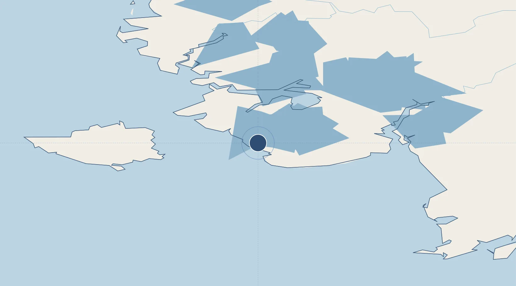
60.1367°, -164.2792°
3,230 ft
Longest runway
1
Runways
49 ft
Elevation
Runway & Layout

Runways · 1
| Runway | Dimensions | Surface | True heading | Lit |
|---|---|---|---|---|
| 16/34 | 3,230 × 60ft | GRVL | 181° | ✓ |
Airport Specifications
IATA code
CYF
ICAO code
PACK
Airport class
Small airport
Scheduled service
Yes
Runway surface
GRVL
Served city
Chefornak
Location
Nearby Logistics Neighbours
Airports
- 1Kipnuk Airport27 km
- 2Nightmute Airport44 km
- 3Toksook Bay Airport63 km
- 4Kwigillingok Airport68 km
- 5Tununak Airport72 km
Cities
- 1Sledge Island493 km
- 2Lenard Harbour569 km
- 3Provideniya, Bukhta663 km
- 4Lavrentiya694 km
- 5Afognak699 km
Ports
- 1Bethel160 km
- 2Platinum186 km
- 3Kotlik324 km
- 4Dillingham348 km
- 5Clarks Point354 km
Trade Zones
- 1FTZ No. 232 Kodiak678 km
- 2FTZ No. 160 Anchorage791 km
- 3FTZ No. 108 Valdez980 km
- 4FTZ No. 195 Fairbanks995 km
- 5PrInce George Logistics Park2559 km
DatabookThe Record of Consolidated Knowledge
United States beyond logistics?