Small airport · United States
Kongiganak AirportPADY
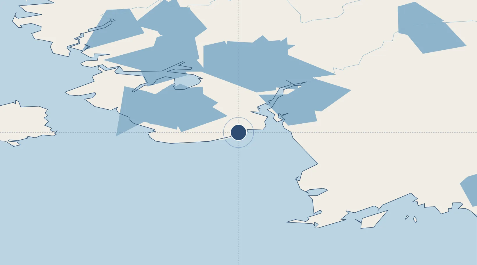
59.9608°, -162.8810°
2,400 ft
Longest runway
1
Runways
30 ft
Elevation
Runway & Layout

Runways · 1
| Runway | Dimensions | Surface | True heading | Lit |
|---|---|---|---|---|
| 01/19 | 2,400 × 75ft | GRVL-P | 021° | — |
Airport Specifications
IATA code
KKH
ICAO code
PADY
Airport class
Small airport
Scheduled service
Yes
Runway surface
GRVL-P
Served city
Kongiganak
Location
Nearby Logistics Neighbours
Airports
- 1Kwigillingok Airport19 km
- 2Tuntutuliak Airport45 km
- 3Eek Airport54 km
- 4Quinhagak Airport62 km
- 5Kipnuk Airport64 km
Cities
- 1Sledge Island531 km
- 2Lenard Harbour539 km
- 3Afognak619 km
- 4Kaguyak631 km
- 5Jakolof Bay639 km
Ports
- 1Bethel115 km
- 2Platinum121 km
- 3Dillingham269 km
- 4Clarks Point274 km
- 5Ekuk275 km
Trade Zones
- 1FTZ No. 232 Kodiak599 km
- 2FTZ No. 160 Anchorage722 km
- 3FTZ No. 108 Valdez910 km
- 4FTZ No. 195 Fairbanks948 km
- 5PrInce George Logistics Park2483 km
DatabookThe Record of Consolidated Knowledge
United States beyond logistics?