Small airport · United States
Eek AirportPAEE
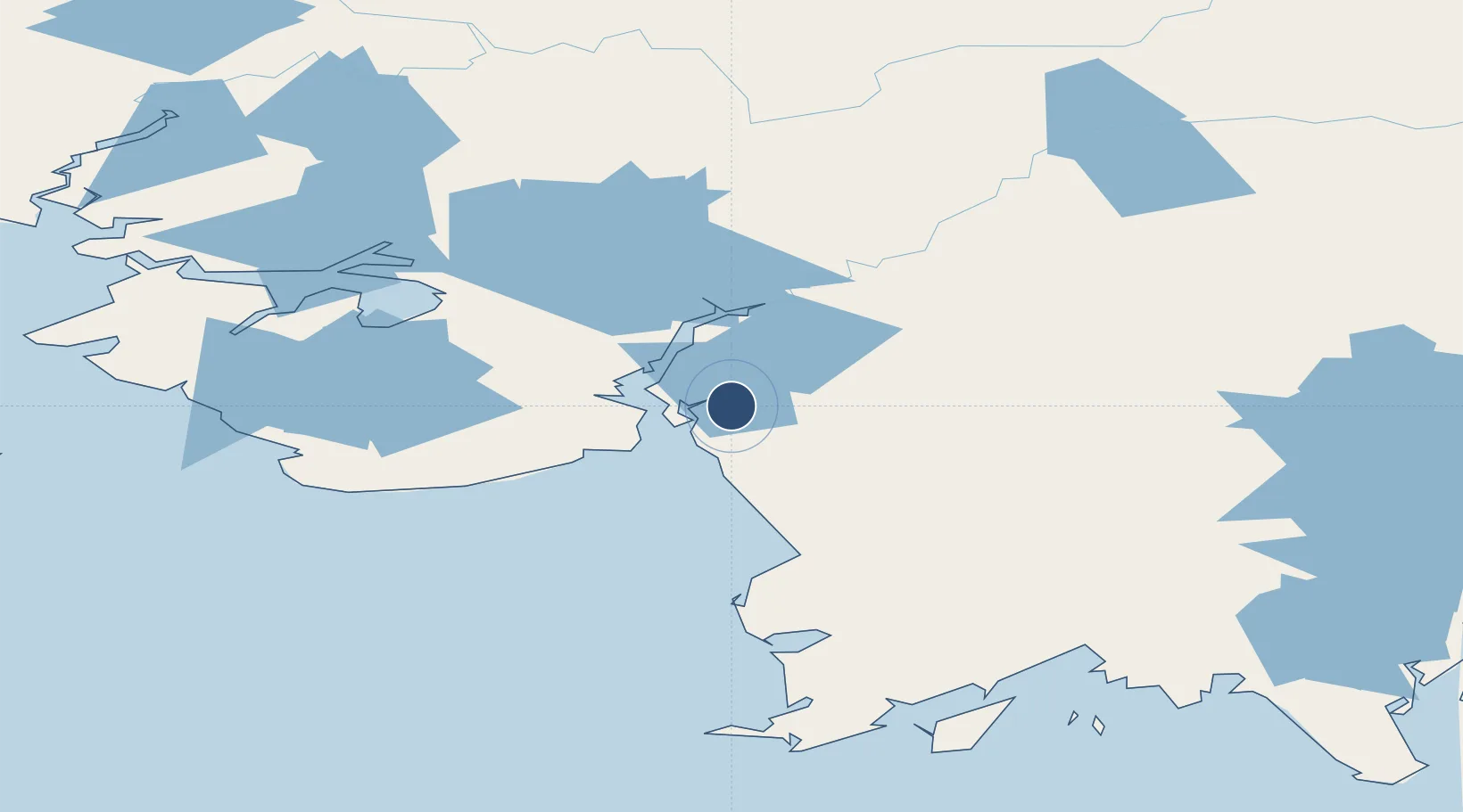
60.2132°, -162.0440°
3,243 ft
Longest runway
1
Runways
12 ft
Elevation
Runway & Layout

Runways · 1
| Runway | Dimensions | Surface | True heading | Lit |
|---|---|---|---|---|
| 17/35 | 3,243 × 60ft | GRVL-G | 189° | — |
Airport Specifications
IATA code
EEK
ICAO code
PAEE
Airport class
Small airport
Scheduled service
Yes
Runway surface
GRVL-G
Served city
Eek
Location
Nearby Logistics Neighbours
Airports
- 1Tuntutuliak Airport37 km
- 2Quinhagak Airport52 km
- 3Napakiak Airport53 km
- 4Kongiganak Airport54 km
- 5Napaskiak Airport56 km
Cities
- 1Sledge Island521 km
- 2Lenard Harbour567 km
- 3Afognak583 km
- 4Jakolof Bay594 km
- 5Kaguyak606 km
Ports
- 1Bethel70 km
- 2Platinum134 km
- 3Dillingham239 km
- 4Clarks Point249 km
- 5Ekuk250 km
Trade Zones
- 1FTZ No. 232 Kodiak570 km
- 2FTZ No. 160 Anchorage670 km
- 3FTZ No. 108 Valdez858 km
- 4FTZ No. 195 Fairbanks894 km
- 5PrInce George Logistics Park2436 km
DatabookThe Record of Consolidated Knowledge
United States beyond logistics?