Diversified Zone · Iran

Sahlan Special Economic Zone Active
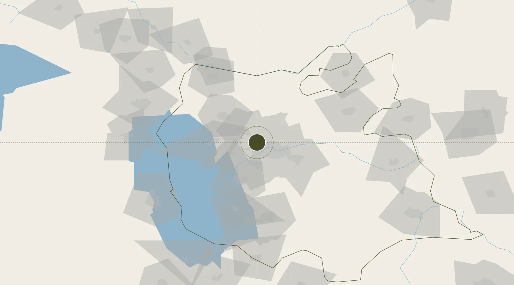
38.1751°, 46.1270°
2,052 ha
Zone area
541.1 km
Nearest port
10.5 km
Nearest airport

Gateway access

Nearest neighbours — logibook spatial index (haversine) over the source coordinates

Zone profile

Zone type
Diversified Zone
Open Zone Map
Region
East Azarbaijan
Open Zone Map
Status
Active
Open Zone Map
Management
Public
Open Zone Map
Operator
Iran Public Warehouses and Customs Services Company
Open Zone Map
Legal framework
Law of Establishment and Administration of Special Economic Zones of Islamic Republic of Iran
Open Zone Map

Location

Location of ozm-2494
Natural Earth 10m (public domain) · East Azarbaijan · ozm-2494 · 38.18, 46.13GoogleOSMYandex

Nearby Logistics Neighbours

Ports
  1. 1Hopa541 km
  2. 2Batumi543 km
  3. 3Supsa Marine Terminal575 km
  4. 4Rize578 km
  5. 5Trabzon630 km
Nearest neighbours — logibook spatial index (haversine) over the source coordinates
Airports
  1. 1Tabriz International Airport11 km
  2. 2Urmia Airport109 km
  3. 3Nakhchivan International Airport127 km
  4. 4Maku National Airport154 km
  5. 5Hakkari Yüksekova Airport180 km
Nearest neighbours — logibook spatial index (haversine) over the source coordinates
Cities
  1. 1Khosrowshahr27 km
  2. 2Jolfa92 km
  3. 3Kajaran108 km
  4. 4Naxcivan138 km
  5. 5Goris148 km
Nearest neighbours — logibook spatial index (haversine) over the source coordinates
Trade Zones
  1. 1Meghri Free Economic Zone82 km
  2. 2Aras Trade Industrial Free Zone94 km
  3. 3Salmas Special Economic Zone122 km
  4. 4West Islamabad Special Economic Zone129 km
  5. 5Maku Mako Trade-Industrial Free Zone201 km
Nearest neighbours — logibook spatial index (haversine) over the source coordinates
DatabookThe Record of Consolidated Knowledge
Iran beyond logistics?
Browse databook

All Sources

Trade ZonesOpen Zone Map
CC BY
Portsthe NGA World Port Index
Public domain (US gov)
AirportsOurAirports
Public domain
LocationsUN/LOCODE
UN/LOCODE — free
← Iran trade zones