Transport Functions
Multimodal
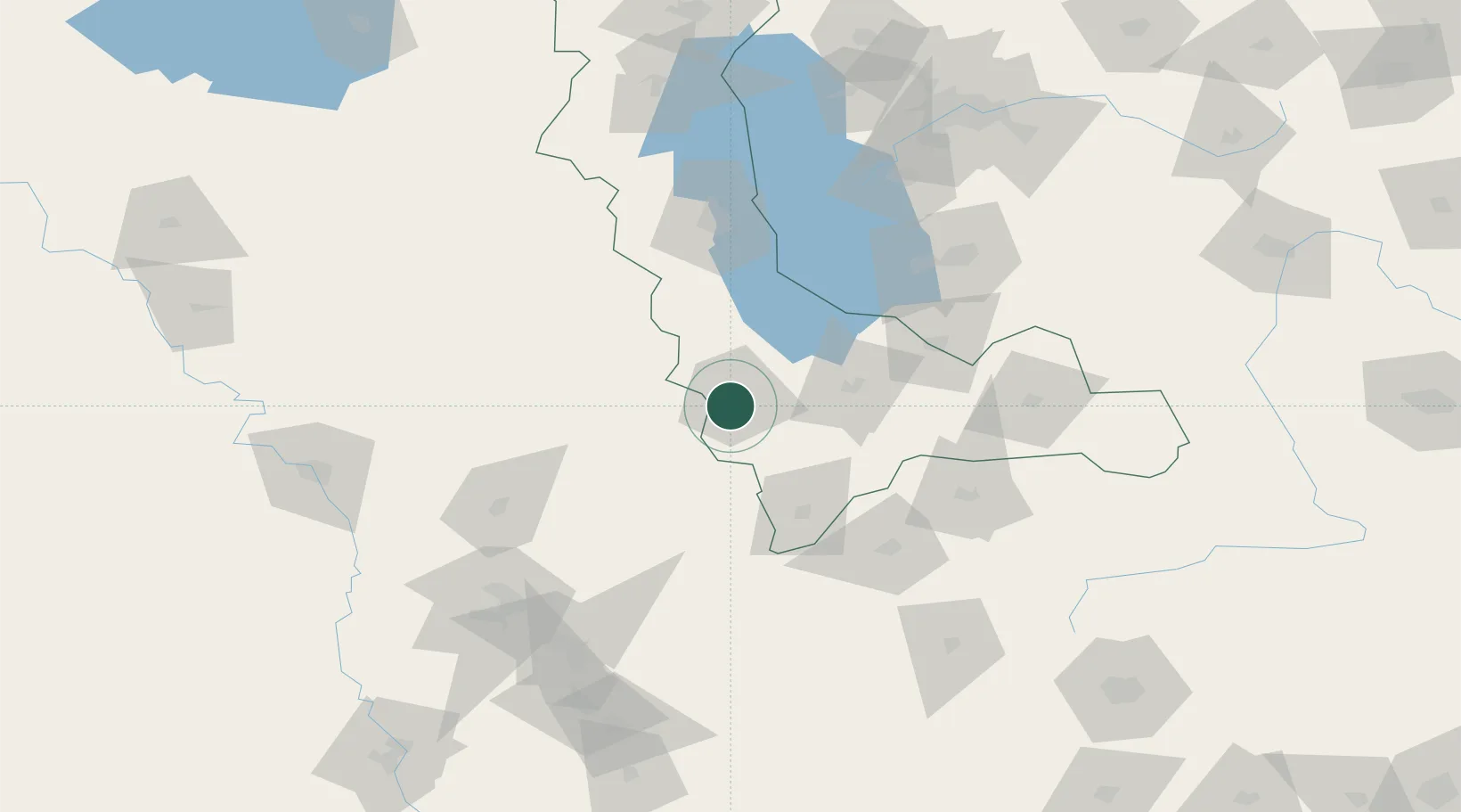
Hub Profile
Place type
Populated place
Region
West Azerbaijan
Population
61,973
Time zone
Asia/Tehran
Elevation
1,444 m
Location
Nearby Logistics Neighbours
Cities
- 1Irbil114 km
- 2Arbil116 km
- 3Khosrowshahr162 km
- 4Kapiköy215 km
- 5Zakho222 km
Ports
- 1Hopa617 km
- 2Batumi629 km
- 3Rize630 km
- 4Trabzon669 km
- 5Supsa Marine Terminal670 km
Airports
- 1Urmia Airport110 km
- 2Erbil International Airport117 km
- 3Hakkari Yüksekova Airport125 km
- 4Sulaymaniyah International Airport126 km
- 5Kirkuk International Airport152 km
Trade Zones
DatabookThe Record of Consolidated Knowledge
Iran beyond logistics?