Large airport · Iraq

Erbil International AirportORER
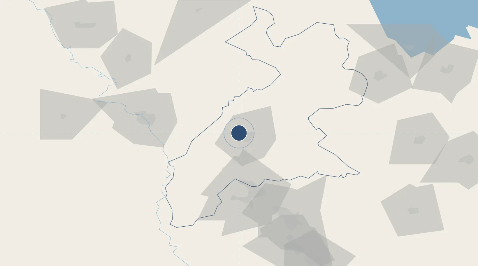
36.2360°, 43.9466°
15,748 ft
Longest runway
1
Runways
1,341 ft
Elevation

Runway & Layout

Erbil International Airport runway & taxiway layout
Runway & taxiway layout — OpenStreetMap (ODbL) / OurAirports

Radio Frequencies

TWR
128.8 MHz
APP
129.75 MHz
KIRKUK
ACC
125.3 MHz
KIRKUK ACC
OurAirports

Runways · 1

RunwayDimensions SurfaceTrue headingLit
18/36 15,748 × 246ft Concrete 180°
OurAirports

Airport Specifications

IATA code
EBL
OurAirports
ICAO code
ORER
OurAirports
Airport class
Large airport
OurAirports
Scheduled service
Yes
OurAirports
Runway surface
Concrete
OurAirports
Served city
Arbil
OurAirports

Location

Location of ORER
Natural Earth 10m (public domain) · Arbil · ORER · 36.24, 43.95GoogleOSMYandex

Nearby Logistics Neighbours

Airports
  1. 1Mosul International Airport72 km
  2. 2Qayyarah West Airport90 km
  3. 3Kirkuk International Airport93 km
  4. 4Tal Ashtah New Air Base123 km
  5. 5Tall Afar Army Air Field139 km
Nearest neighbours — logibook spatial index (haversine) over the source coordinates
Cities
  1. 1Irbil4 km
  2. 2Arbil8 km
  3. 3Piran Shahr117 km
  4. 4Mosul (Ak Mawsil)123 km
  5. 5Zakho149 km
Nearest neighbours — logibook spatial index (haversine) over the source coordinates
Ports
  1. 1Rize614 km
  2. 2Hopa617 km
  3. 3Batumi634 km
  4. 4Trabzon644 km
  5. 5Supsa Marine Terminal680 km
Nearest neighbours — logibook spatial index (haversine) over the source coordinates
Trade Zones
  1. 1West Islamabad Special Economic Zone163 km
  2. 2Baneh Special Economic Zone178 km
  3. 3Al Yarubiyah Free Zone181 km
  4. 4Salmas Special Economic Zone229 km
  5. 5Qasr-e-Shirin Special Economic Zone242 km
Nearest neighbours — logibook spatial index (haversine) over the source coordinates
DatabookThe Record of Consolidated Knowledge
Iraq beyond logistics?
Browse databook

All Sources

AirportsOurAirports
Public domain
Portsthe NGA World Port Index
Public domain (US gov)
LocationsUN/LOCODE
UN/LOCODE — free
Trade Zonesthe World Bank SEZ database
CC BY 4.0
Trade ZonesOpen Zone Map
CC BY
InfrastructureOpenStreetMap
ODbL 1.0
← Iraq airports