Diversified Zone · Iran

Salmas Special Economic Zone Under Development
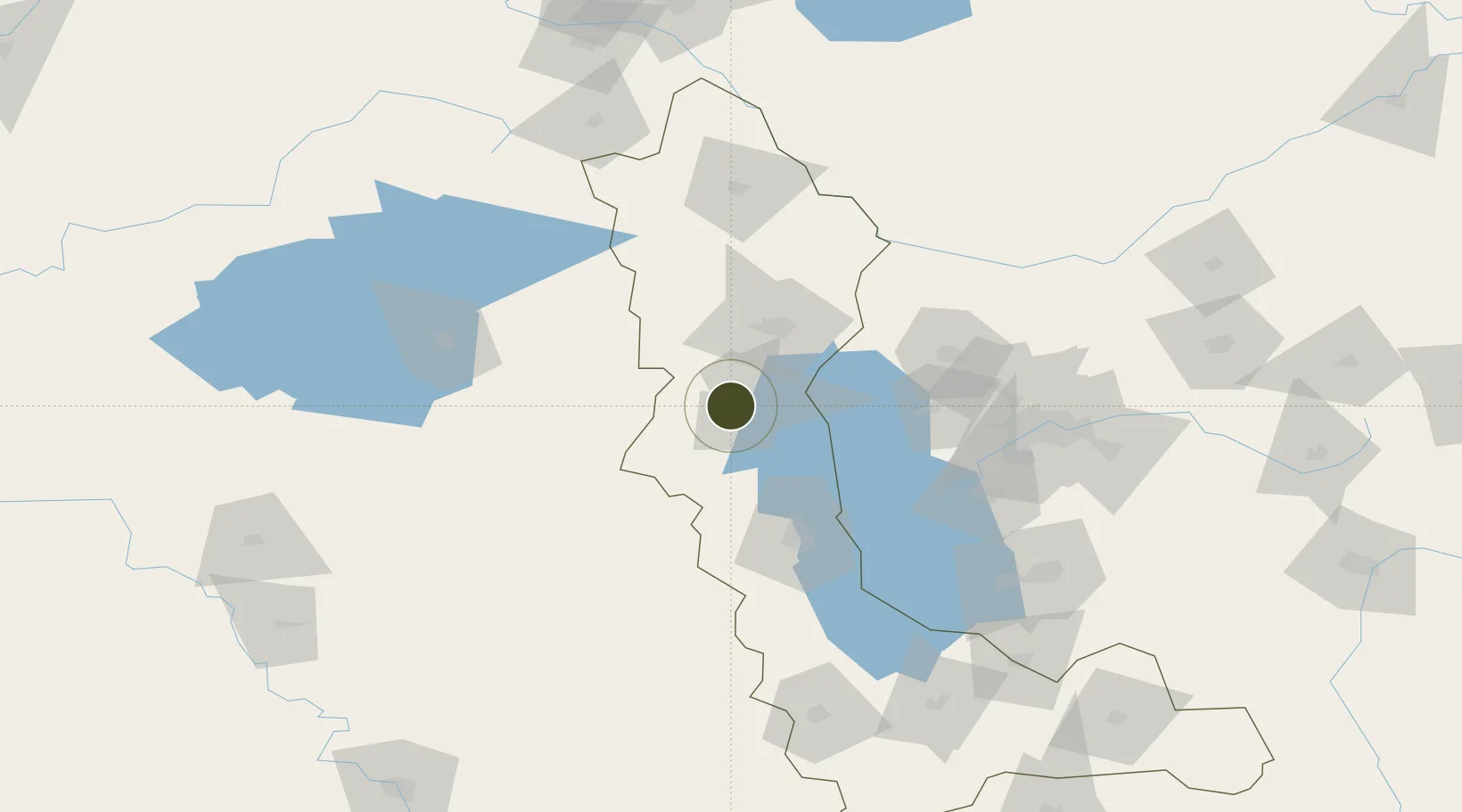
38.2016°, 44.7317°
1,000 ha
Zone area
456.9 km
Nearest port
66.3 km
Nearest airport

Gateway access

Nearest neighbours — logibook spatial index (haversine) over the source coordinates

Zone profile

Zone type
Diversified Zone
Open Zone Map
Region
West Azarbaijan
Open Zone Map
Status
Under Development
Open Zone Map
Management
Private
Open Zone Map
Operator
West Azerbaijan Industrial Estates Company
Open Zone Map
Legal framework
Law of Establishment and Administration of Special Economic Zones of Islamic Republic of Iran
Open Zone Map

Location

Location of ozm-2479
Natural Earth 10m (public domain) · West Azarbaijan · ozm-2479 · 38.20, 44.73GoogleOSMYandex

Nearby Logistics Neighbours

Ports
  1. 1Hopa457 km
  2. 2Batumi465 km
  3. 3Rize481 km
  4. 4Supsa Marine Terminal504 km
  5. 5Trabzon528 km
Nearest neighbours — logibook spatial index (haversine) over the source coordinates
Airports
  1. 1Urmia Airport66 km
  2. 2Hakkari Yüksekova Airport84 km
  3. 3Maku National Airport111 km
  4. 4Van Ferit Melen Airport126 km
  5. 5Nakhchivan International Airport127 km
Nearest neighbours — logibook spatial index (haversine) over the source coordinates
Cities
  1. 1Kapiköy50 km
  2. 2Emek79 km
  3. 3Jolfa114 km
  4. 4Naxcivan119 km
  5. 5Khosrowshahr121 km
Nearest neighbours — logibook spatial index (haversine) over the source coordinates
Trade Zones
  1. 1Aras Trade Industrial Free Zone113 km
  2. 2West Islamabad Special Economic Zone121 km
  3. 3Sahlan Special Economic Zone122 km
  4. 4Maku Mako Trade-Industrial Free Zone133 km
  5. 5Meghri Free Economic Zone153 km
Nearest neighbours — logibook spatial index (haversine) over the source coordinates
DatabookThe Record of Consolidated Knowledge
Iran beyond logistics?
Browse databook

All Sources

Trade ZonesOpen Zone Map
CC BY
Portsthe NGA World Port Index
Public domain (US gov)
AirportsOurAirports
Public domain
LocationsUN/LOCODE
UN/LOCODE — free
← Iran trade zones