Large airport · Iraq

Kirkuk International AirportORKK
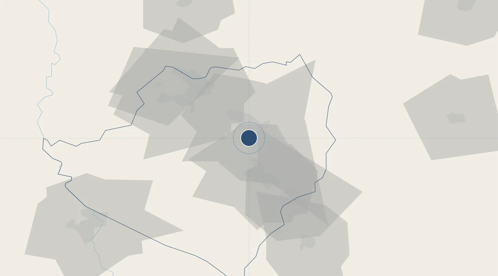
35.4695°, 44.3489°
9,809 ft
Longest runway
2
Runways
1,061 ft
Elevation

Runway & Layout

Kirkuk International Airport runway & taxiway layout
Runway & taxiway layout — OpenStreetMap (ODbL) / OurAirports

Radio Frequencies

TWR
125.55 MHz
GND
127.375 MHz
APP
129.75 MHz
ACC
125.3 MHz
PMSV
29.83 MHz
METRO
POST
128.1 MHz
COMD POST
PTD
119.25 MHz
OurAirports

Navaids

KRK TACAN Kirkuk 113.90 MHz
OurAirports

Runways · 2

RunwayDimensions SurfaceTrue headingLit
13/31 9,809 × 148ft Concrete 133°
14/32 8,535 × 160ft Asphalt 145°
OurAirports

Airport Specifications

IATA code
KIK
OurAirports
ICAO code
ORKK
OurAirports
Airport class
Large airport
OurAirports
Scheduled service
Yes
OurAirports
Runway surface
Concrete
OurAirports
Served city
Kirkuk
OurAirports

Location

Location of ORKK
Natural Earth 10m (public domain) · At-Ta'mim · ORKK · 35.47, 44.35GoogleOSMYandex

Nearby Logistics Neighbours

Airports
  1. 1Tal Ashtah New Air Base42 km
  2. 2Tuz Khurmatu Air Base60 km
  3. 3Sulaymaniyah International Airport88 km
  4. 4Erbil International Airport93 km
  5. 5Al Sahra Army Air Field115 km
Nearest neighbours — logibook spatial index (haversine) over the source coordinates
Cities
  1. 1Arbil85 km
  2. 2Irbil93 km
  3. 3Samarra'148 km
  4. 4Piran Shahr152 km
  5. 5Balad165 km
Nearest neighbours — logibook spatial index (haversine) over the source coordinates
Ports
  1. 1Al Basrah639 km
  2. 2Khorramshahr664 km
  3. 3Khawr Al Zubair675 km
  4. 4Abadan679 km
  5. 5Umm Qasr693 km
Nearest neighbours — logibook spatial index (haversine) over the source coordinates
Trade Zones
  1. 1Baneh Special Economic Zone154 km
  2. 2Qasr-e-Shirin Special Economic Zone154 km
  3. 3West Islamabad Special Economic Zone212 km
  4. 4Al Yarubiyah Free Zone254 km
  5. 5Salmas Special Economic Zone306 km
Nearest neighbours — logibook spatial index (haversine) over the source coordinates
DatabookThe Record of Consolidated Knowledge
Iraq beyond logistics?
Browse databook

All Sources

AirportsOurAirports
Public domain
Portsthe NGA World Port Index
Public domain (US gov)
LocationsUN/LOCODE
UN/LOCODE — free
Trade Zonesthe World Bank SEZ database
CC BY 4.0
Trade ZonesOpen Zone Map
CC BY
InfrastructureOpenStreetMap
ODbL 1.0
← Iraq airports