UN/LOCODE hub · Iraq
IQABL

Arbil

36.1833°, 44.0000°
1
Transport functions

Transport Functions

Multimodal
UN/LOCODE

Hub Profile

Region
AR
GeoNames

Location

Location of IQABL
Natural Earth 10m (public domain) · AR · IQABL · 36.18, 44.00GoogleOSMYandex

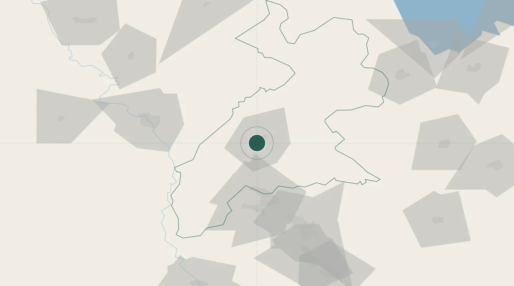
Nearby Logistics Neighbours

Cities
  1. 1Irbil8 km
  2. 2Piran Shahr116 km
  3. 3Mosul (Ak Mawsil)127 km
  4. 4Zakho157 km
  5. 5Samarra'221 km
Nearest neighbours — logibook spatial index (haversine) over the source coordinates
Ports
  1. 1Rize622 km
  2. 2Hopa624 km
  3. 3Batumi641 km
  4. 4Trabzon651 km
  5. 5Supsa Marine Terminal687 km
Nearest neighbours — logibook spatial index (haversine) over the source coordinates
Airports
  1. 1Erbil International Airport8 km
  2. 2Mosul International Airport78 km
  3. 3Kirkuk International Airport85 km
  4. 4Qayyarah West Airport91 km
  5. 5Tal Ashtah New Air Base117 km
Nearest neighbours — logibook spatial index (haversine) over the source coordinates
Trade Zones
  1. 1West Islamabad Special Economic Zone164 km
  2. 2Baneh Special Economic Zone173 km
  3. 3Al Yarubiyah Free Zone187 km
  4. 4Salmas Special Economic Zone234 km
  5. 5Qasr-e-Shirin Special Economic Zone234 km
Nearest neighbours — logibook spatial index (haversine) over the source coordinates
DatabookThe Record of Consolidated Knowledge
Iraq beyond logistics?
Browse databook

All Sources

LocationsUN/LOCODE
UN/LOCODE — free
Portsthe NGA World Port Index
Public domain (US gov)
AirportsOurAirports
Public domain
Trade Zonesthe World Bank SEZ database
CC BY 4.0
Trade ZonesOpen Zone Map
CC BY
← Iraq locations