Transport Functions
Rail
Road
Hub Profile
Logistics facilities
1
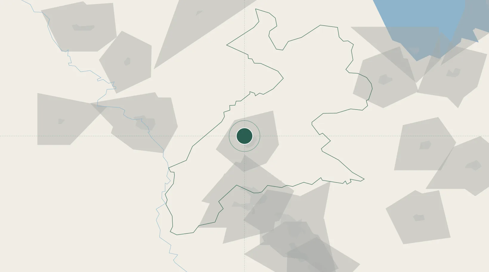
Location
Nearby Logistics Neighbours
Cities
- 1Arbil8 km
- 2Piran Shahr114 km
- 3Mosul (Ak Mawsil)126 km
- 4Zakho150 km
- 5Samarra'229 km
Ports
- 1Rize614 km
- 2Hopa616 km
- 3Batumi633 km
- 4Trabzon643 km
- 5Supsa Marine Terminal679 km
Airports
Trade Zones
DatabookThe Record of Consolidated Knowledge
Iraq beyond logistics?