Export Processing Zone · Pakistan
Duddar Export Processing Zone Active
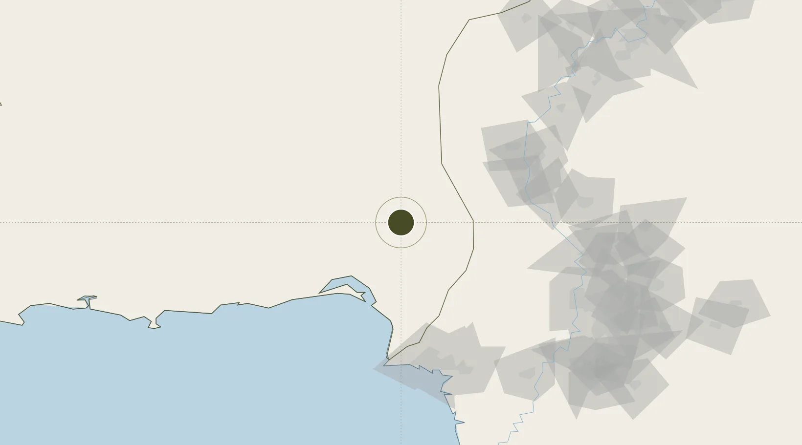
26.0920°, 66.8072°
607 ha
Zone area
146.6 km
Nearest port
100.1 km
Nearest airport
Gateway access
Zone profile
Zone type
Export Processing Zone
Region
Baluchistan
Status
Active
Management
Public-Private Partnership
Operator
Ministry PNR, Govt. of Balochistan / MCC HDM Company
Legal framework
Export Processing Zones Authority Ordinance 1980 (IV of 1980);
Location
Nearby Logistics Neighbours
Ports
- 1Karachi147 km
- 2Muhamamad Bin Qasim157 km
- 3Mandvi444 km
- 4Okha464 km
- 5Gwadar464 km
Airports
- 1Sehwan Sharif Airport100 km
- 2Masroor Air Base134 km
- 3Jinnah International Airport137 km
- 4Faisal Air Base139 km
- 5Shaheed Benazirabad Airport159 km
Cities
- 1Karachi Freight Terminal138 km
- 2Karachi140 km
- 3Karachi Container Terminal141 km
- 4Kiamari143 km
- 5Muhammad Bin Qasim/Karachi155 km
Trade Zones
- 1Hub Special Economic Zone120 km
- 2Quaid-E-Azim Apparel Park147 km
- 3Korangi Creek Industrial Park147 km
- 4Karachi Export Processing Zone147 km
- 5Karachi Export Processing Zone147 km
DatabookThe Record of Consolidated Knowledge
Pakistan beyond logistics?