Medium airport · Pakistan
Panjgur AirportOPPG
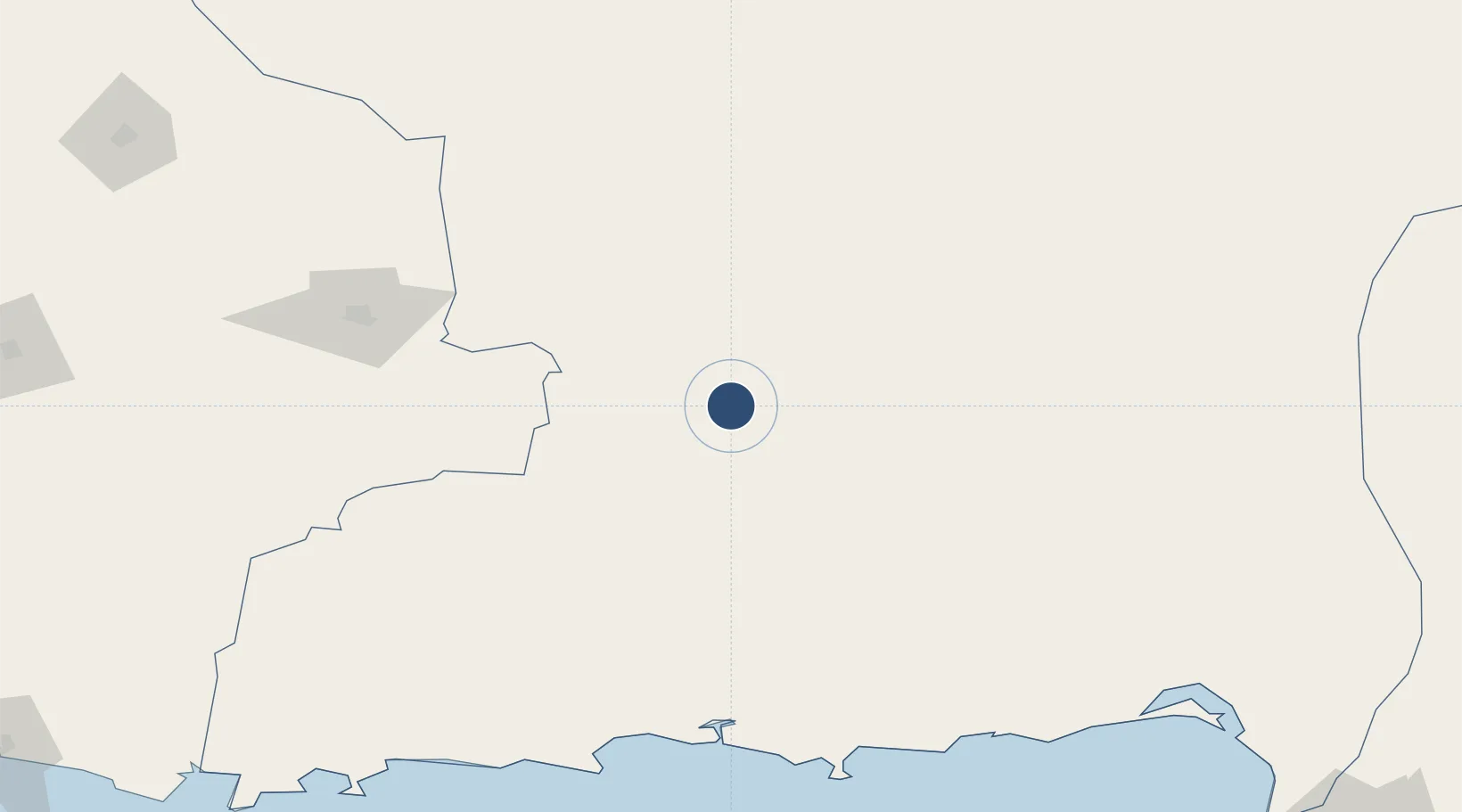
26.9545°, 64.1325°
5,000 ft
Longest runway
1
Runways
3,289 ft
Elevation
Runway & Layout

Radio Frequencies
TWR
118.1 MHz
GND
121.8 MHz
Navaids
PG VOR-DME Panjgur 114.30 MHz
PG NDB Panjgur 388 kHz
Runways · 1
| Runway | Dimensions | Surface | True heading | Lit |
|---|---|---|---|---|
| 13/31 | 5,000 × 75ft | Bitumen | 132° | — |
Airport Specifications
IATA code
PJG
ICAO code
OPPG
Airport class
Medium airport
Scheduled service
No
Runway surface
Bitumen
Served city
Panjgur
Location
Nearby Logistics Neighbours
Airports
- 1Shamsi Airfield142 km
- 2Turbat International Airport154 km
- 3Pasni Airport201 km
- 4Dalbandin Airport216 km
- 5New Gwadar International Airport246 km
Cities
- 1Karachi Container Terminal369 km
- 2Kiamari370 km
- 3Karachi Freight Terminal372 km
- 4Karachi372 km
- 5Chah Bahar395 km
Ports
- 1Gwadar273 km
- 2Karachi374 km
- 3Chah Bahar398 km
- 4Muhamamad Bin Qasim404 km
- 5Mina Qabus669 km
Trade Zones
- 1Gwadar Free Zone273 km
- 2Duddar Export Processing Zone283 km
- 3Hub Special Economic Zone342 km
- 4Mirjaveh Special Economic Zone349 km
- 5Saindak Export Processing Zone360 km
DatabookThe Record of Consolidated Knowledge
Pakistan beyond logistics?