Channel & Berth Profile
Pilotage, Tugs & Services
Potable waterYES
MedicalYES
Facilities & Capabilities
Container—
Ro-Ro—
Liquid bulk—
Dry bulk—
Oil terminal—
Break bulk—
Dry dock—
Repairs—
BunkeringYES
Rail link—
Dangerous cargo—
ISPS security—
Harbour Specifications
Harbour size
Small
Harbour type
Coastal (Natural)
Shelter
Fair
Water body
Strait of Hormuz; Indian Ocean
Tidal range
1.7 m
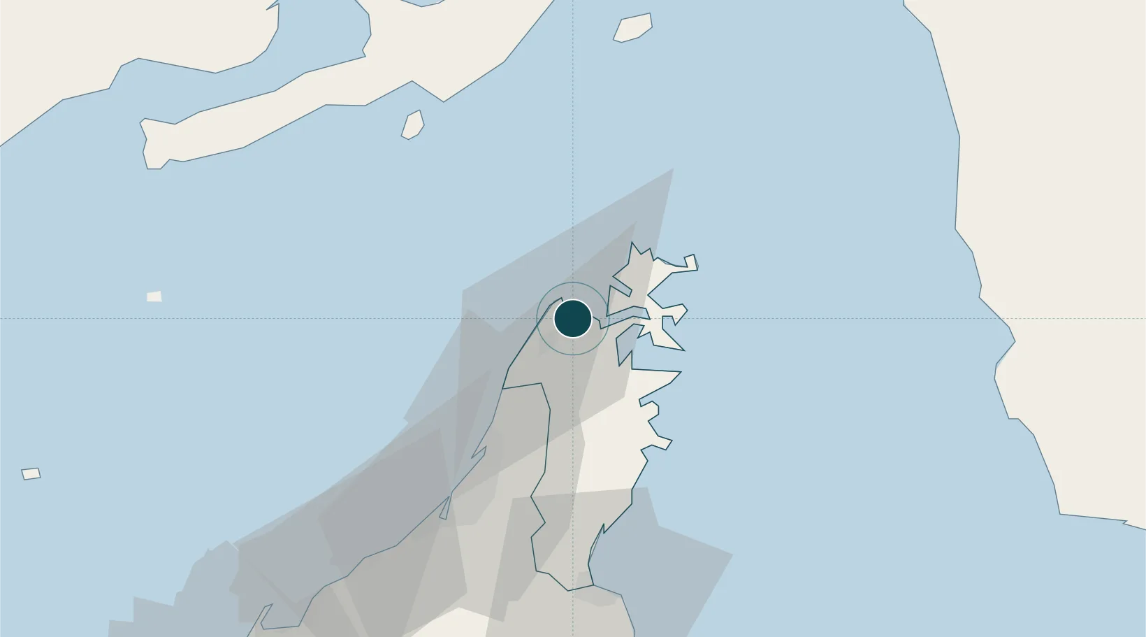
Location
Nearby Logistics Neighbours
Ports
- 1Mina Saqr32 km
- 2Hulaylah Oil Terminal40 km
- 3Al Jazeera Port72 km
- 4Umm Al Qaywayn96 km
- 5Khawr Fakkan96 km
Cities
- 1Al Jeer Port27 km
- 2Ras al Khaimah32 km
- 3Mina Saqr32 km
- 4Stevin Rock33 km
- 5Rak Maritime City35 km
Airports
Trade Zones
DatabookThe Record of Consolidated Knowledge
Oman beyond logistics?