Transport Functions
Port
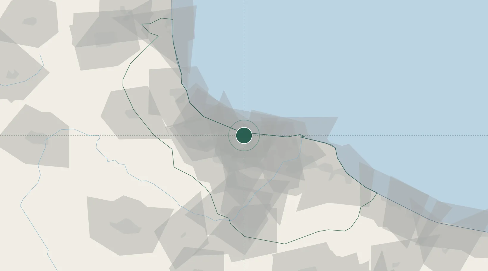
Hub Profile
Place type
Provincial seat
Region
Gilan Province
Population
110,826
Time zone
Asia/Tehran
Elevation
-20 m
Location
Nearby Logistics Neighbours
Cities
- 1Astara121 km
- 2Zanjan126 km
- 3Abhar150 km
- 4Ali Shah Avaz247 km
- 5Alat276 km
Ports
- 1Bandar-E Mahshahr779 km
- 2Bandar Khomeyni783 km
- 3Al Basrah787 km
- 4Khorramshahr791 km
- 5Abadan801 km
Airports
- 1Sardar-e-Jangal Airport21 km
- 2Ramsar Airport125 km
- 3Zanjan Airport125 km
- 4Ardabil Airport132 km
- 5Qazvin Airport146 km
Trade Zones
DatabookThe Record of Consolidated Knowledge
Iran beyond logistics?