Diversified Zone · Iran

Sistan Special Economic Zone Under Development
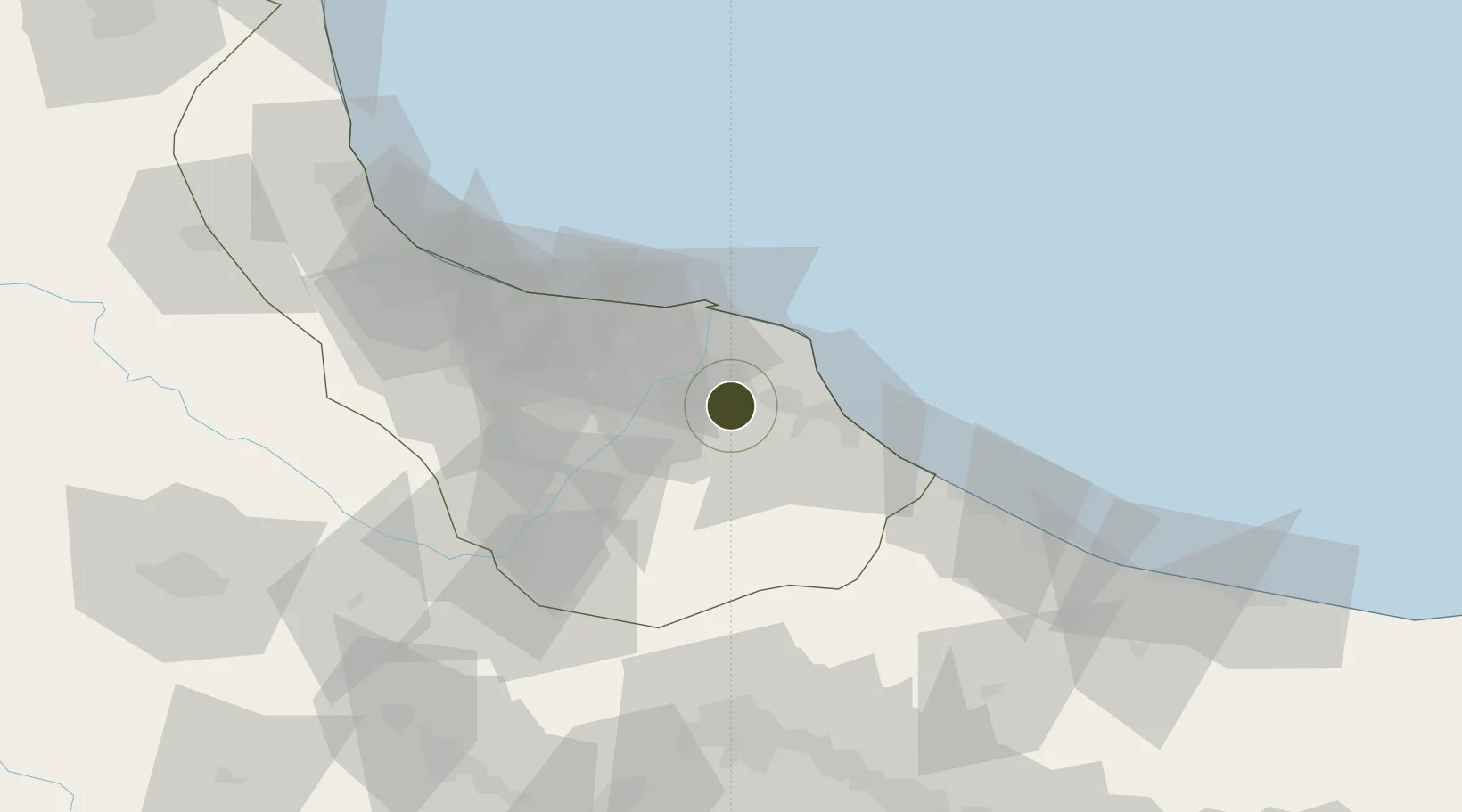
37.1796°, 50.0064°
1,050 ha
Zone area
750.3 km
Nearest port
37.9 km
Nearest airport

Gateway access

Nearest neighbours — logibook spatial index (haversine) over the source coordinates

Zone profile

Zone type
Diversified Zone
Open Zone Map
Region
Gilan
Open Zone Map
Status
Under Development
Open Zone Map
Management
Public
Open Zone Map
Operator
Shahre-Jadid Development Company
Open Zone Map
Legal framework
Law of Establishment and Administration of Special Economic Zones of Islamic Republic of Iran
Open Zone Map

Location

Location of ozm-2482
Natural Earth 10m (public domain) · Gilan · ozm-2482 · 37.18, 50.01GoogleOSMYandex

Nearby Logistics Neighbours

Ports
  1. 1Bandar-E Mahshahr750 km
  2. 2Bandar Khomeyni755 km
  3. 3Al Basrah768 km
  4. 4Khorramshahr769 km
  5. 5Abadan778 km
Nearest neighbours — logibook spatial index (haversine) over the source coordinates
Airports
  1. 1Sardar-e-Jangal Airport38 km
  2. 2Ramsar Airport68 km
  3. 3Qazvin Airport105 km
  4. 4Nowshahr Airport142 km
  5. 5Zanjan Airport153 km
Nearest neighbours — logibook spatial index (haversine) over the source coordinates
Cities
  1. 1Bandar-e Anzali57 km
  2. 2Abhar136 km
  3. 3Zanjan148 km
  4. 4Astara173 km
  5. 5Ali Shah Avaz194 km
Nearest neighbours — logibook spatial index (haversine) over the source coordinates
Trade Zones
  1. 1Anzali Trade Industrial Free Zone43 km
  2. 2Bandar Nowshahr Special Economic Zone145 km
  3. 3Noshahr Special Economic Zone146 km
  4. 4Persian Gulf Ship Manufacturing156 km
  5. 5Astara Port Special Economic Zone169 km
Nearest neighbours — logibook spatial index (haversine) over the source coordinates
DatabookThe Record of Consolidated Knowledge
Iran beyond logistics?
Browse databook

All Sources

Trade ZonesOpen Zone Map
CC BY
Portsthe NGA World Port Index
Public domain (US gov)
AirportsOurAirports
Public domain
LocationsUN/LOCODE
UN/LOCODE — free
← Iran trade zones