Medium airport · Iran

Shahid Ashrafi Esfahani AirportOICC
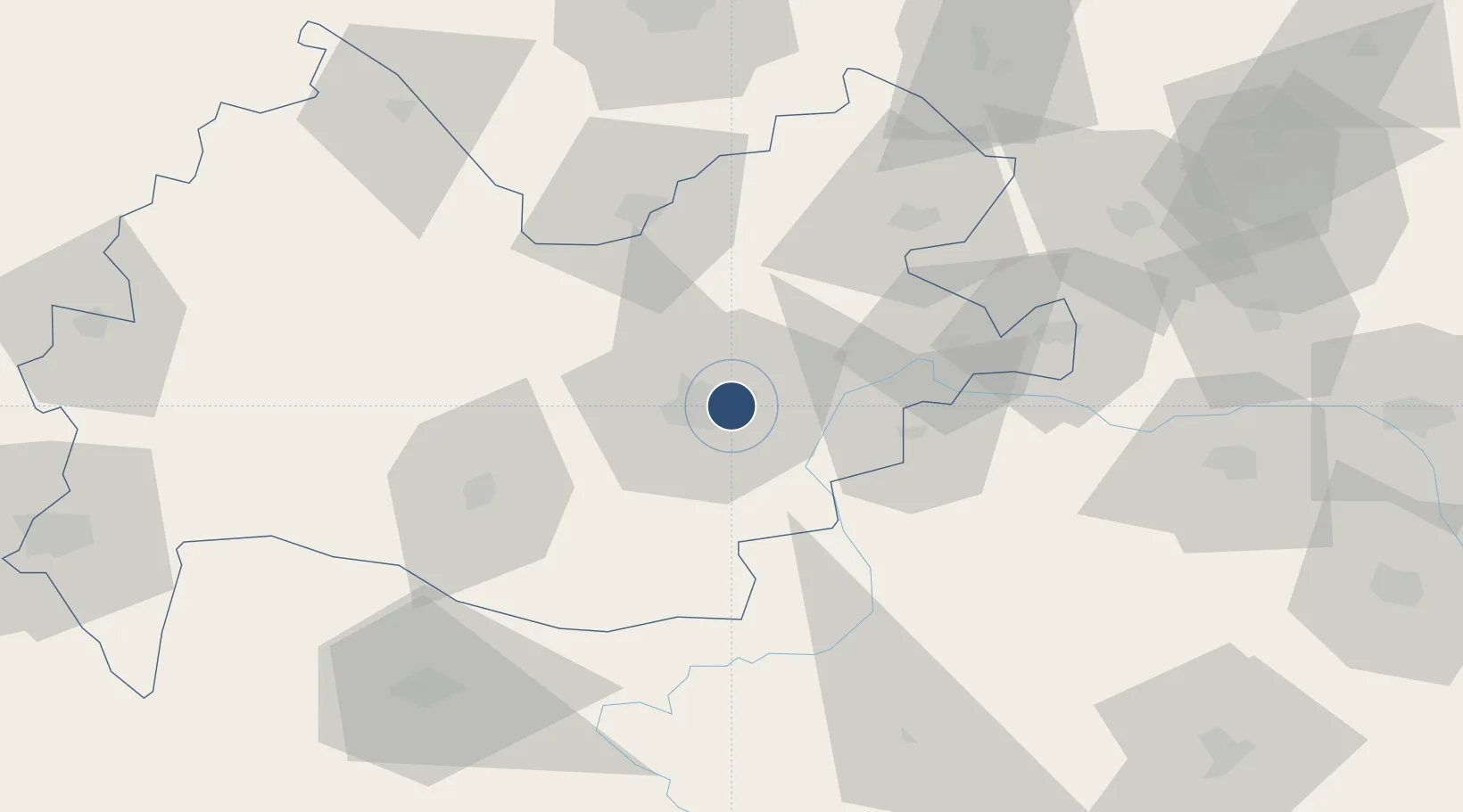
34.3459°, 47.1581°
11,213 ft
Longest runway
2
Runways
4,307 ft
Elevation

Runway & Layout

Shahid Ashrafi Esfahani Airport runway & taxiway layout
Runway & taxiway layout — OpenStreetMap (ODbL) / OurAirports

Radio Frequencies

ATIS
126.8 MHz
KERMANSHAH INFO
TWR
122.45 MHz
KERMANSHAH TWR
OurAirports

Navaids

KMS VOR-DME Kermanshah 114.60 MHz
KMS NDB Kermanshah 382 kHz
KSH TACAN Kermanshah 115.50 MHz
OurAirports

Runways · 2

RunwayDimensions SurfaceTrue headingLit
11R/29L 11,213 × 148ft Asphalt 116°
11L/29R 9,656 × 98ft ASPH
OurAirports

Airport Specifications

IATA code
KSH
OurAirports
ICAO code
OICC
OurAirports
Airport class
Medium airport
OurAirports
Scheduled service
Yes
OurAirports
Runway surface
Asphalt
OurAirports
Served city
Kermanshah
OurAirports

Location

Location of OICC
Natural Earth 10m (public domain) · Kermanshah · OICC · 34.35, 47.16GoogleOSMYandex

Nearby Logistics Neighbours

Airports
  1. 1Sanandaj Airport101 km
  2. 2Ilam Airport109 km
  3. 3Hamadan Airport140 km
  4. 4Khoram Abad Airport145 km
  5. 5Nojeh Air Base167 km
Nearest neighbours — logibook spatial index (haversine) over the source coordinates
Cities
  1. 1Kermanshah (Bakhtaran)11 km
  2. 2Baneh210 km
  3. 3Ba'qubah242 km
  4. 4Abhar273 km
  5. 5Balad281 km
Nearest neighbours — logibook spatial index (haversine) over the source coordinates
Ports
  1. 1Al Basrah431 km
  2. 2Khorramshahr446 km
  3. 3Abadan459 km
  4. 4Khawr Al Zubair468 km
  5. 5Bandar Khomeyni471 km
Nearest neighbours — logibook spatial index (haversine) over the source coordinates
Trade Zones
  1. 1Lorestan Special Economic Zone103 km
  2. 2Qasr-e-Shirin Special Economic Zone146 km
  3. 3Jahan Abad Special Economic Zone188 km
  4. 4Baneh Special Economic Zone218 km
  5. 5Salafchegan Special Economic Zone303 km
Nearest neighbours — logibook spatial index (haversine) over the source coordinates
DatabookThe Record of Consolidated Knowledge
Iran beyond logistics?
Browse databook

All Sources

AirportsOurAirports
Public domain
Portsthe NGA World Port Index
Public domain (US gov)
LocationsUN/LOCODE
UN/LOCODE — free
Trade Zonesthe World Bank SEZ database
CC BY 4.0
Trade ZonesOpen Zone Map
CC BY
InfrastructureOpenStreetMap
ODbL 1.0
← Iran airports