Medium airport · Saudi Arabia

Gurayat Domestic AirportOEGT
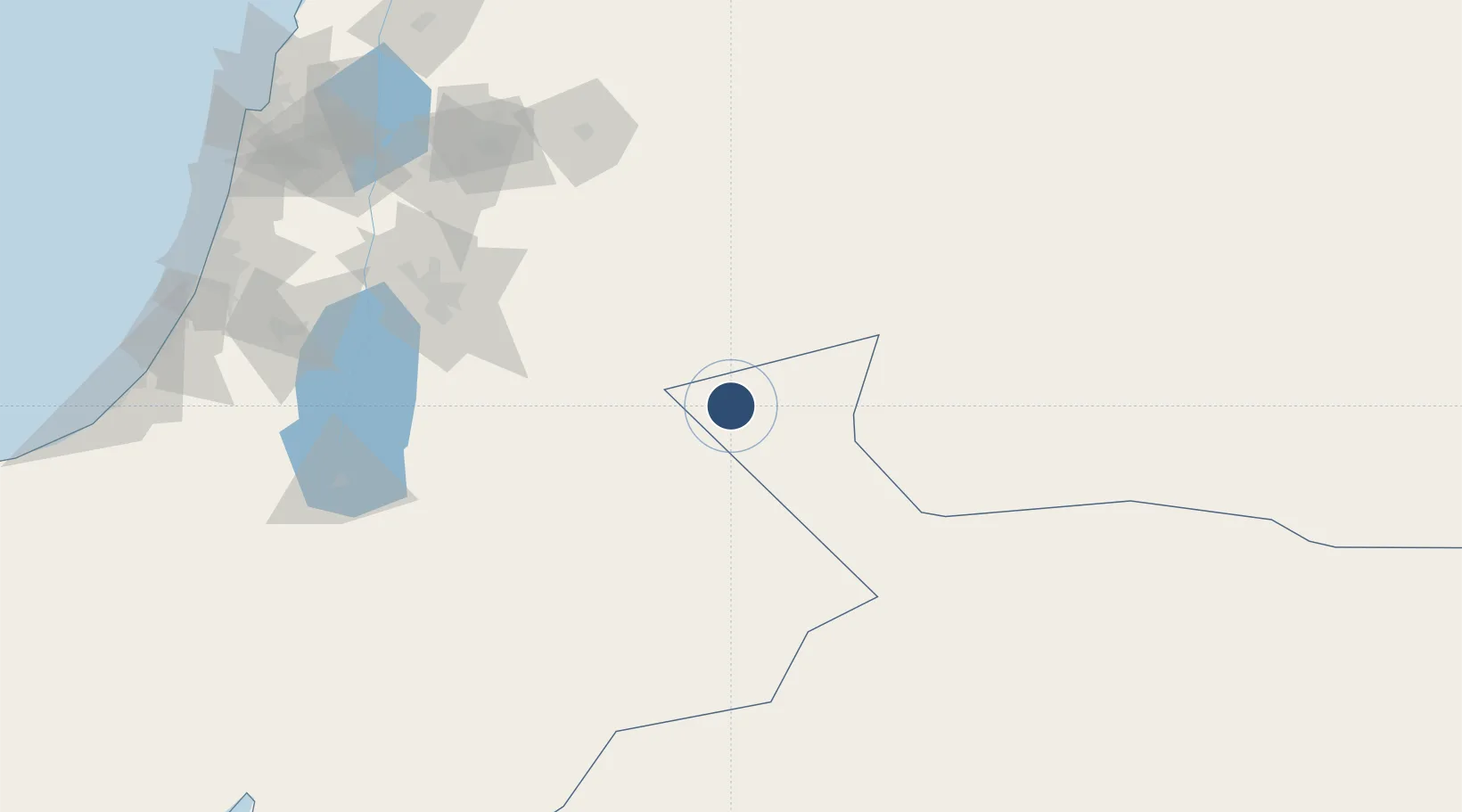
31.4124°, 37.2789°
10,007 ft
Longest runway
1
Runways
1,672 ft
Elevation

Runway & Layout

Gurayat Domestic Airport runway & taxiway layout
Runway & taxiway layout — OpenStreetMap (ODbL) / OurAirports

Radio Frequencies

CTAF
122.8 MHz
EMR
133.5 MHz
CRASH SVC
OurAirports

Navaids

GRY VORTAC Guriat 114.70 MHz
OurAirports

Runways · 1

RunwayDimensions SurfaceTrue headingLit
10/28 10,007 × 147ft Asphalt 106°
OurAirports

Airport Specifications

IATA code
URY
OurAirports
ICAO code
OEGT
OurAirports
Airport class
Medium airport
OurAirports
Scheduled service
Yes
OurAirports
Runway surface
Asphalt
OurAirports
Served city
Gurayat
OurAirports

Location

Location of OEGT
Natural Earth 10m (public domain) · Al Jawf · OEGT · 31.41, 37.28GoogleOSMYandex

Nearby Logistics Neighbours

Airports
  1. 1Muwaffaq Salti Air Base66 km
  2. 2Queen Alia International Airport127 km
  3. 3Marka International (Amman Civil) Airport137 km
  4. 4Turaif Domestic Airport141 km
  5. 5King Feisal Air Base161 km
Nearest neighbours — logibook spatial index (haversine) over the source coordinates
Cities
  1. 1Zarka Free Zone134 km
  2. 2Abu Alandah136 km
  3. 3Qir Moav152 km
  4. 4Yeruham167 km
  5. 5Mishor Adumim190 km
Nearest neighbours — logibook spatial index (haversine) over the source coordinates
Ports
  1. 1Ashdod253 km
  2. 2Hadera253 km
  3. 3Ashqelon265 km
  4. 4Haifa265 km
  5. 5Sayda294 km
Nearest neighbours — logibook spatial index (haversine) over the source coordinates
Trade Zones
  1. 1Al-Muwaqar Industrial Estate107 km
  2. 2Zarqa Free Zone125 km
  3. 3Queen Alia International Airport Free Zone127 km
  4. 4Sahab Free Zone129 km
  5. 5Abdullah II Ibn al-Hussein Industrial Estate133 km
Nearest neighbours — logibook spatial index (haversine) over the source coordinates
DatabookThe Record of Consolidated Knowledge
Saudi Arabia beyond logistics?
Browse databook

All Sources

AirportsOurAirports
Public domain
Portsthe NGA World Port Index
Public domain (US gov)
LocationsUN/LOCODE
UN/LOCODE — free
Trade Zonesthe World Bank SEZ database
CC BY 4.0
Trade ZonesOpen Zone Map
CC BY
InfrastructureOpenStreetMap
ODbL 1.0
← Saudi Arabia airports