Large airport · Saudi Arabia
Al-Jawf International AirportOESK
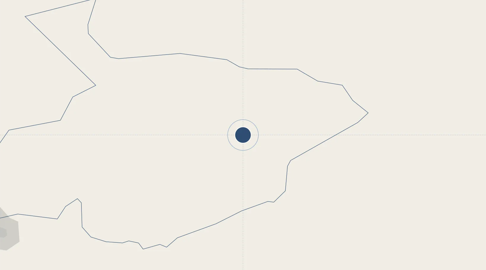
29.7833°, 40.1009°
12,011 ft
Longest runway
1
Runways
2,261 ft
Elevation
Runway & Layout

Radio Frequencies
TWR
118.9 MHz
GND
121.9 MHz
CTAF
122.8 MHz
EMR
133.5 MHz
CRASH SVC
Navaids
AJF VORTAC Al Jouf 117.80 MHz
Runways · 1
| Runway | Dimensions | Surface | True heading | Lit |
|---|---|---|---|---|
| 10/28 | 12,011 × 147ft | Asphalt | 100° | ✓ |
Airport Specifications
IATA code
AJF
ICAO code
OESK
Airport class
Large airport
Scheduled service
Yes
Runway surface
Asphalt
Served city
Al-Jawf
Location
Nearby Logistics Neighbours
Airports
- 1Arar Domestic Airport160 km
- 2Turaif Domestic Airport249 km
- 3Ha'il Airport303 km
- 4Ruwayshid Air Base306 km
- 5Gurayat Domestic Airport325 km
Cities
- 1Rota-Izmit Bay65 km
- 2Zarka Free Zone459 km
- 3Najaf469 km
- 4Al Asad496 km
- 5Khan al Baghdadi506 km
Trade Zones
- 1Al-Jouf Modon Oasis12 km
- 2Arar Industrial City169 km
- 3Waad Al-Shamal Industial City246 km
- 4Prince Abdulaziz Bin Mousaed Economic City287 km
- 5Hail Industrial City302 km
DatabookThe Record of Consolidated Knowledge
Saudi Arabia beyond logistics?