Medium airport · Saudi Arabia
Bisha AirportOEBH
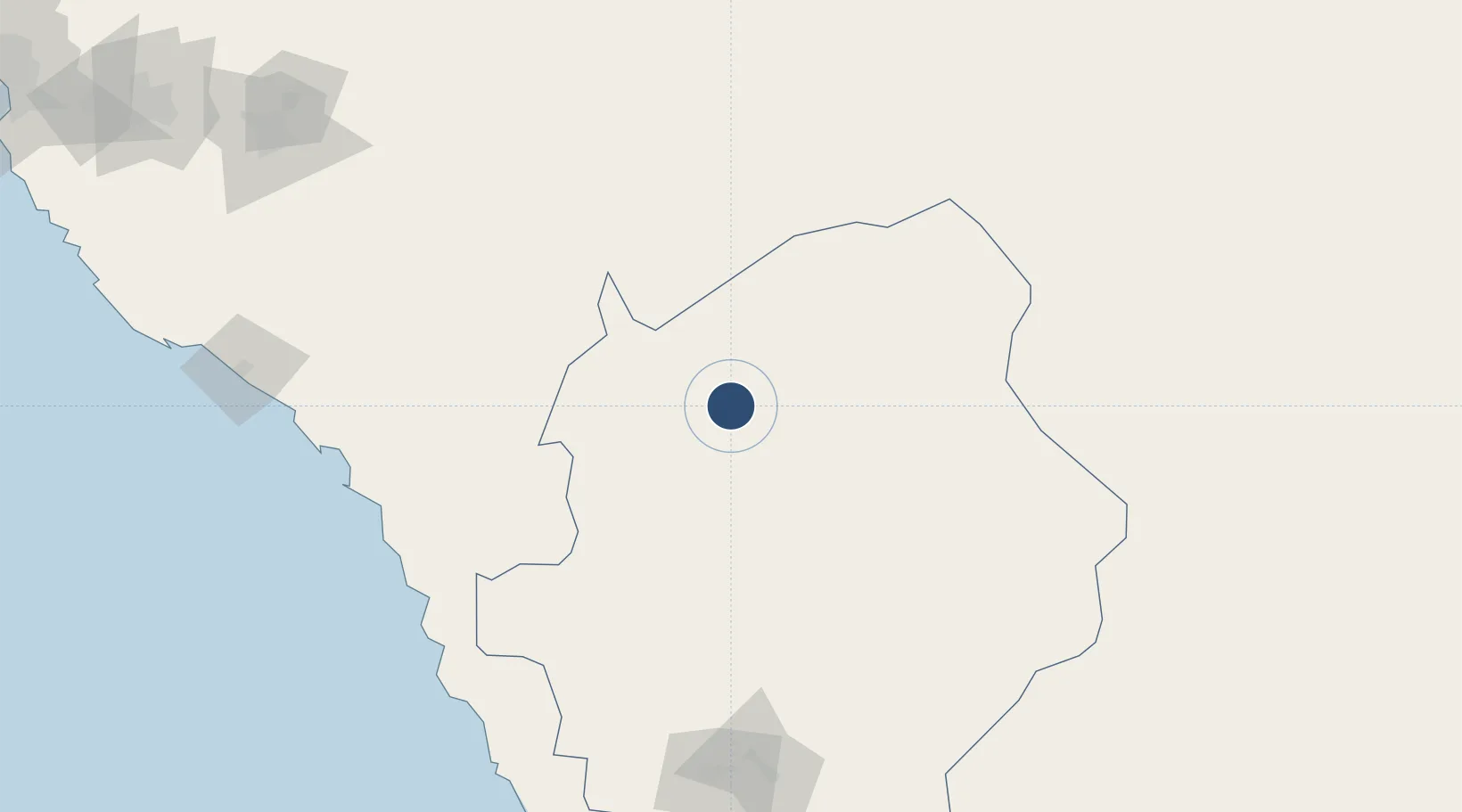
19.9844°, 42.6209°
10,007 ft
Longest runway
1
Runways
3,887 ft
Elevation
Runway & Layout

Radio Frequencies
CTAF
122.8 MHz
EMR
133.5 MHz
FIRE RESCUE SVC
Navaids
BSH VORTAC Bisha 112.30 MHz
Runways · 1
| Runway | Dimensions | Surface | True heading | Lit |
|---|---|---|---|---|
| 18/36 | 10,007 × 147ft | Asphalt | 186° | ✓ |
Airport Specifications
IATA code
BHH
ICAO code
OEBH
Airport class
Medium airport
Scheduled service
Yes
Runway surface
Asphalt
Served city
Bisha
Location
Nearby Logistics Neighbours
Airports
Cities
- 1Muhayil173 km
- 2Al Qunfudah189 km
- 3Al Qahmah241 km
- 4Jazan Economic City302 km
- 5Shuaibah333 km
Ports
- 1Jizan343 km
- 2Jiddah394 km
- 3Rabigh485 km
- 4Salif521 km
- 5Ras Isa Marine Terminal539 km
Trade Zones
- 1Al-Baha Industrial City (First)110 km
- 2Al-Baha Industrial City (Second)117 km
- 3Assir Industrial City183 km
- 4Jazan Economic City298 km
- 5Najran Industrial City323 km
DatabookThe Record of Consolidated Knowledge
Saudi Arabia beyond logistics?