Medium airport · Saudi Arabia

King Saud Bin Abdulaziz (Al Baha) AirportOEBA
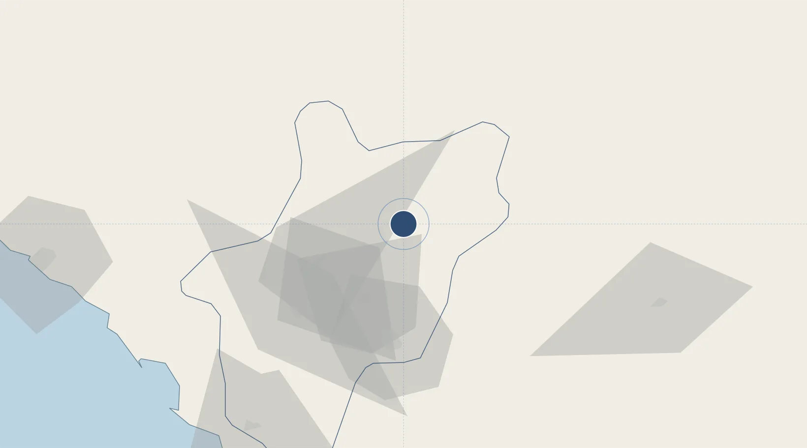
20.2985°, 41.6362°
10,991 ft
Longest runway
1
Runways
5,486 ft
Elevation

Runway & Layout

King Saud Bin Abdulaziz (Al Baha) Airport runway & taxiway layout
Runway & taxiway layout — OpenStreetMap (ODbL) / OurAirports

Radio Frequencies

CTAF
122.8 MHz
EMR
133.5 MHz
CRASH SVC
OurAirports

Navaids

BHA VORTAC Al Baha 113.50 MHz
OurAirports

Runways · 1

RunwayDimensions SurfaceTrue headingLit
07/25 10,991 × 148ft Asphalt 071°
OurAirports

Airport Specifications

IATA code
ABT
OurAirports
ICAO code
OEBA
OurAirports
Airport class
Medium airport
OurAirports
Scheduled service
Yes
OurAirports
Runway surface
Asphalt
OurAirports
Served city
Al-Baha
OurAirports

Location

Location of OEBA
Natural Earth 10m (public domain) · Al Bahah · OEBA · 20.30, 41.64GoogleOSMYandex

Nearby Logistics Neighbours

Airports
  1. 1Bisha Airport109 km
  2. 2Taif International Airport174 km
  3. 3Mecca East Airport213 km
  4. 4Abha International Airport253 km
  5. 5King Khalid Air Base254 km
Nearest neighbours — logibook spatial index (haversine) over the source coordinates
Cities
  1. 1Al Qunfudah144 km
  2. 2Muhayil201 km
  3. 3Shuaibah225 km
  4. 4Al Qahmah254 km
  5. 5Jeddah282 km
Nearest neighbours — logibook spatial index (haversine) over the source coordinates
Ports
  1. 1Jiddah287 km
  2. 2Rabigh386 km
  3. 3Jizan388 km
  4. 4Port Sudan467 km
  5. 5Sawakin Harbor467 km
Nearest neighbours — logibook spatial index (haversine) over the source coordinates
Trade Zones
  1. 1Al-Baha Industrial City (First)5 km
  2. 2Al-Baha Industrial City (Second)12 km
  3. 3Makkah Industrial City233 km
  4. 4Assir Industrial City243 km
  5. 5Jeddah Industrial City (Third)257 km
Nearest neighbours — logibook spatial index (haversine) over the source coordinates
DatabookThe Record of Consolidated Knowledge
Saudi Arabia beyond logistics?
Browse databook

All Sources

AirportsOurAirports
Public domain
Portsthe NGA World Port Index
Public domain (US gov)
LocationsUN/LOCODE
UN/LOCODE — free
Trade Zonesthe World Bank SEZ database
CC BY 4.0
Trade ZonesOpen Zone Map
CC BY
InfrastructureOpenStreetMap
ODbL 1.0
← Saudi Arabia airports